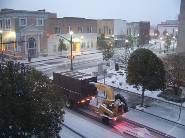
Snow falling in N.C.; 2-4 inches possible
Snow was sweeping across the state early Tuesday as a combination of chilly northern air and southern moisture could dump as much as 4 inches in the WRAL viewing area.
Posted — Updated"A good portion of the area is covered with precipitation at this point," WRAL Meteorologist Mike Moss said. "A lot of the precipitation is fairly light but some of it has been falling in the form of snow over the northwestern half of our viewing area."
Two to 4 inches of snow is still predicted for much of the Triangle, but there were signs of a possible shift late Monday.
"There are indications that the bulk of the system may be heading further south and east than first thought," WRAL Chief Meteorologist Greg Fishel said. "It could end up leaving the Triangle without the heaviest in way of precipitation and just a light coating."
The heaviest band of snow was first forecast along the U.S. Highway 1 corridor, from Southern Pines to Raleigh and east to Rocky Mount and Nashville.
If the disturbance shifts to the south, the border of Virginia and North Carolina wouldn't see much snow. The heaviest snow would then be down to the south and east of Raleigh, Fishel said.
The snow will taper off Tuesday afternoon and shift to the east, Fishel said. Temperatures will reach the upper 20s and low 30s.
Whatever wintry precipitation falls is likely to stick around for a while – particularly on roads – because the state won't see a significant warm-up until the latter part of the week.
While forecasters don't expect any freezing rain or major ice problems, the North Carolina Department of Transportation began pre-treating bridges and major routes Monday with salt brine to prevent ice from accumulating. Workers start using salt directly when snow begins to accumulate.
Slippery roadways could be a lingering problem. Along with freezing weather and snow throughout much of Tuesday, temperatures in parts of the state are slated to begin Wednesday in the teens before warming up in the afternoon.
Five years earlier, on Jan. 25, 2000, the region got its heaviest snowfall ever, 4 inches shy of 2 feet.
Copyright 2024 by WRAL.com and the Associated Press. All rights reserved. This material may not be published, broadcast, rewritten or redistributed.


