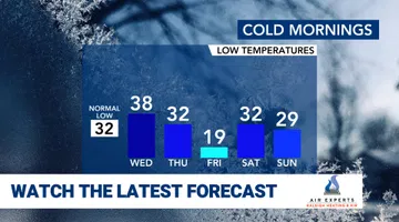
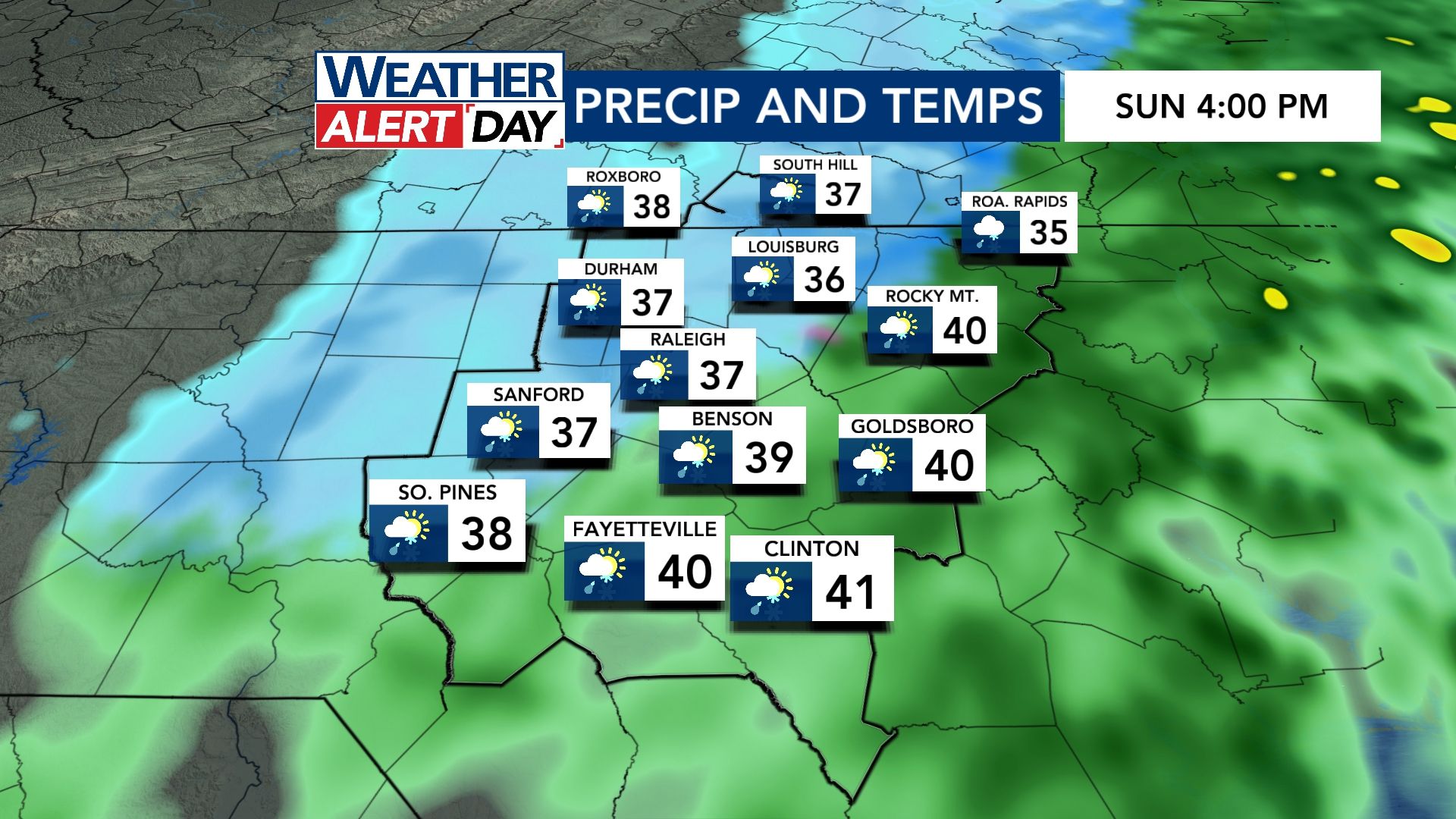
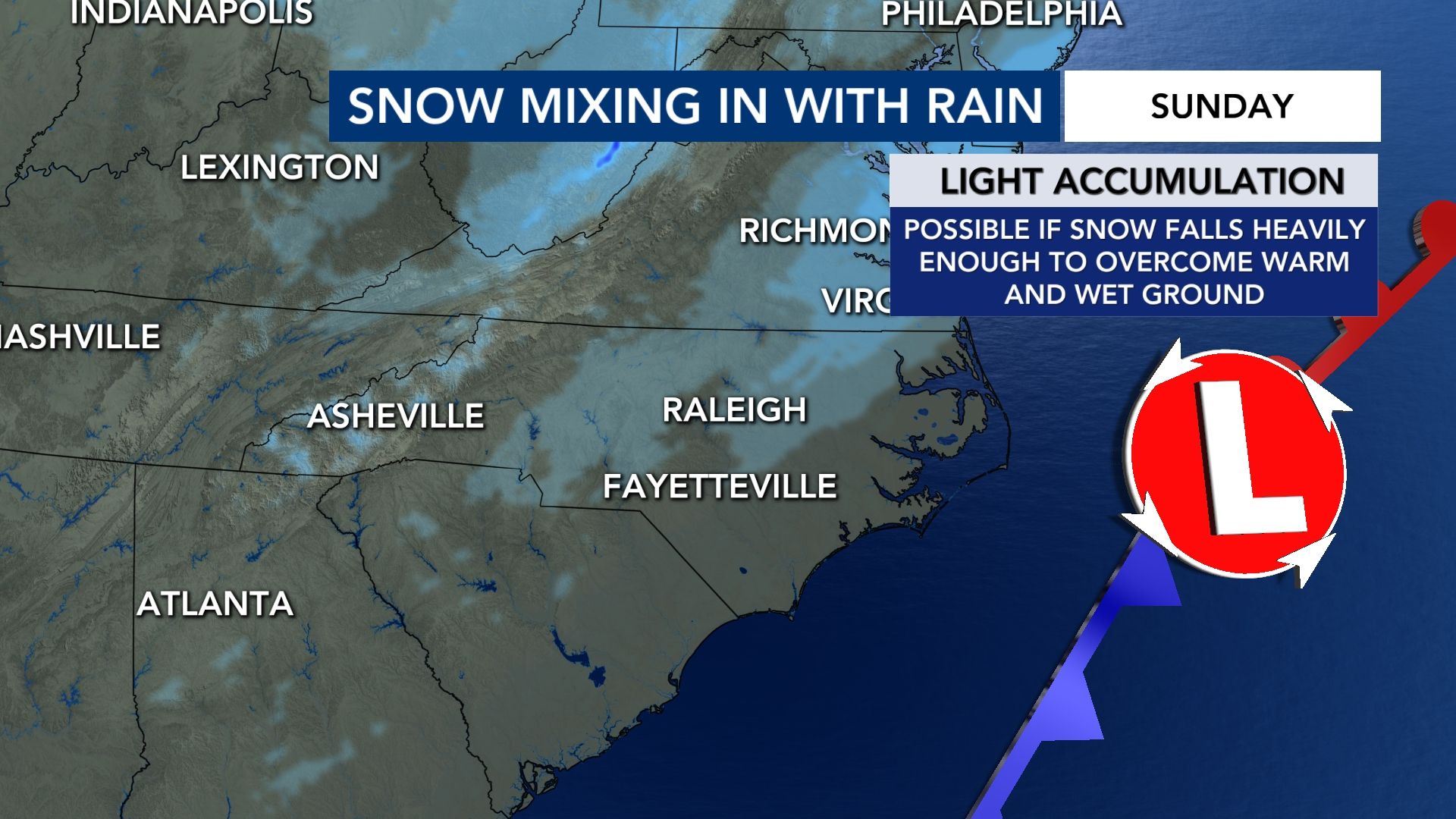
WRAL meteorologists are tracking the chance for snow on Sunday, Jan. 18, 2026, but the latest data shows a low impact to our area. Most areas will see cold rain with a period of snow mixing in by the afternoon.
Should snow fall heavily enough to overcome the wetter and "warmer" ground, we could see some light accumulations especially on the grass, decks, porches, etc.
Other WRAL Top Stories
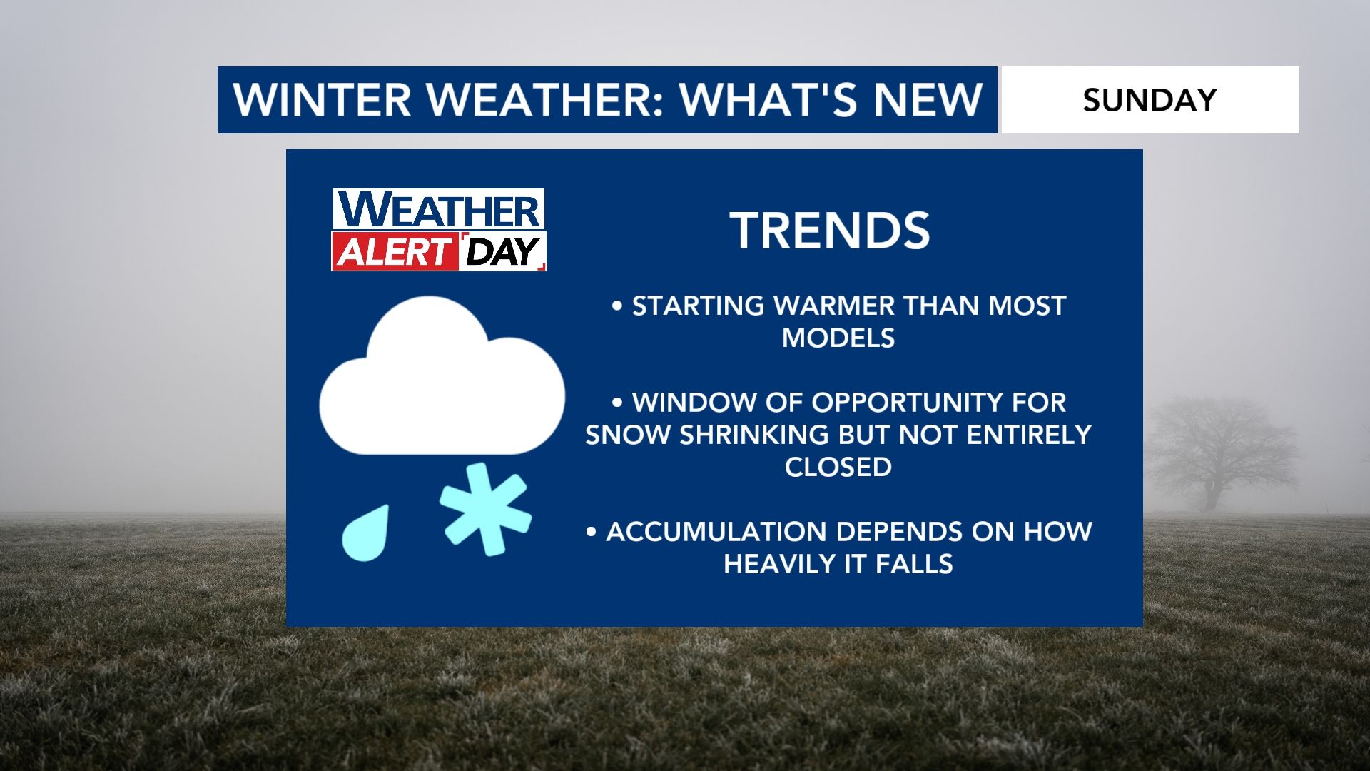
Chance of snow: Timing of potential snow in NC on Sunday
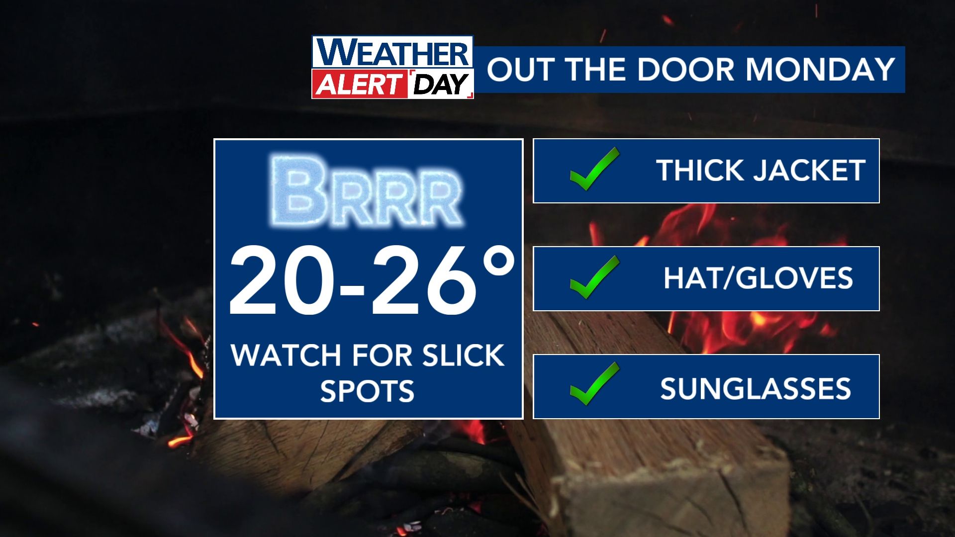
Icy spots could develop on the roads later Sunday into early Monday (Jan. 19, 2026) impacting travel. This is why we have a WRAL Weather Alert Day in place for the back half of Sunday through Monday morning.
Timing for potential snow
Now that high resolution models are coming in, the window for snow to mix in with rain is trending toward the afternoon as the cold air tries to catch up to the moisture.
This isn't a favorable set-up for significant snowfall accumulations anywhere in our viewing area.
NCDOT preparing roads for snow
Brine trucks are preparing to hit the roads Friday ahead of a batch of winter weather expected in central North Carolina this weekend.
Kim Deaner with the state Department of Transportation said crews will hit interstates and elevated surfaces first on Friday before moving to primary roads.
"All day long, they're going to be hitting all of our interstates, all of our primary roads and all known trouble spots," Deaner said. "So you are not going to have a hard time finding a brine truck today."
There will be roughly three dozen trucks on roads across Wake County and in our northern counties, according to Deaner. Although impacts appear low, the wintry mix could disrupt travel on Sunday.
"I think with this event there's been so much uncertainty that we just want to make sure we hit everything," Deaner said. "We have two days to do it before the first flake is going to fall, and then we just pivot to what we need to do."
Since there haven't been many large weather events this winter, the NCDOT has plenty of brine ready to use. Deaner said the department has been talking about what they needed since July.
Winter impact appears low
Why not a big snowstorm?
"High pressure isn't in the right location to be able to sustain and funnel in cold air fast enough," Campbell explains. "The trend for the faster arrival of precipitation also limits the cold air."
Getting wintry precipitation in our area totally depends on the exact track of this low-pressure system.
- If it's too far offshore, we won't get much of anything. The moisture will stay confined to the coast. This does not appear like a likely scenario.
- If it's a little bit closer to the coast, we could get some snow. It's unlikely we get a system that's just all snow in our area.
- If the low stays more inland, we have a scenario where we get a wintry mix in our eastern counties and more snow in our northwestern counties. This could be the most likely scenario.