Storms possible Wednesday as summer-like pattern holds steady
Warm, muggy conditions that have set up shop in central North Carolina will stay put through the end of the work week, but changes are on the way for the weekend and early next week, WRAL meteorologist Elizabeth Gardner said.
Posted — Updated"We're going to have a few more days of the muggy conditions thanks to very high dew points" Gardner said. "That includes the chance for afternoon thunderstorms Wednesday and again on Thursday."
Storms aren't expected to become severe either day, but some areas could see locally heavy downpours.
Highs should top out in the upper 80s both days before sunshine and temperatures in the low-to-mid 90s make an appearance Friday afternoon.
On Saturday, a cold front moving through the area will begin the transition to cooler temperatures.
"We are moving into September now, and this month always brings us a lot of changes," Gardner said. "We'll get hot Friday and then cool again by the end of the weekend. We could see highs around 80 degrees with much lower humidity by Monday."
On Tuesday morning, temperatures could dip into the upper 50s.
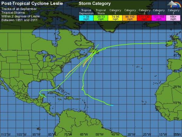
Although Tropical Storm Leslie is still more than 1,200 miles southeast of the Triangle, the strong storm could impact North Carolina beaches this weekend, Gardner said.
Leslie, which had sustained winds of 65 mph early Wednesday, is expected to impact Bermuda by Thursday as it turns northward.
Forecasters expect the storm to reach Category 2 strength in the next two days but aren't forecasting it to move close to the eastern seaboard.
• Credits
Copyright 2024 by Capitol Broadcasting Company. All rights reserved. This material may not be published, broadcast, rewritten or redistributed.


