
Driving in the eastern portion of the state and into southeastern Virginia will be hazardous. Even where major highways have been plowed, there can be a layer of so-called black ice.
A huge difference in road conditions can be seen within just a few miles. At Highway 64 and I-95 in Rocky Mount, there sand and salt have been applied to the roadbeds. But road crews have not been able to get to all secondary roads. Consequently, a given road may happen to have dry pavement but bridges may not be sanded, leaving slick patches. Motorists are advised to exercise particular caution on overpasses.
Temperatures were in the teens and low 20s in the eastern third of the state Monday morning. Temperatures will rise to about 40 later in the day. Snow that melts and does not evaporate will refreeze, so roads will be difficult early Tuesday as well.
The weather also forced church andschool cancellationsthroughout the region.
Many schools systems east of Wake County are closed Monday, including Cumberland, Edgecombe, Halifax, Johnston, Nash-Rocky Mount, Northampton, Wayne and Wilson county schools.
. The snow caused several accidents on Interstate 95, the major highway artery along the East Coast. One person is reported dead after a seven car pileup in Wilson County Sunday night.
There were a few reports of power failures, but they were scattered and did not involve large areas.
In Johnston County, a series of accidents Sunday evening - one involving a state Department of Transportation truck - briefly blocked both northbound lanes of I-95 near the 90-mile marker.
``There's so many wrecks out on 95, it doesn't matter if its open or closed,'' said Aimee Cox, a Highway Patrol dispatcher in Raleigh. ``It's moving really slow.''
Roads in Edgecombe, Johnston, Nash, Northampton and Wayne counties were described as hazardous or impassable. The Highway Patrol asked motorists to avoid driving east of I-95 Sunday night and early Monday if possible.
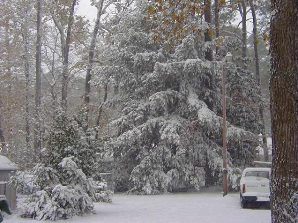
Rocky Mount reported 8 inches of snow, Wilson and Goldsboro reported 7 inches, Edenton reported 4.3 and Greenville 6 inches. Mount Olive had 4 inches, Clinton 6 and Dunn each reported 6 inches.
Meanwhile the snow machine was running at high speed near the Virginia border. Rich Square had 7 inches, Murfreesboro 6 inches, Williamston had 8 inches and residents of Aulander will be digging out from under at least 9 inches of snow.
The snow ended around 9 p.m. over interior southeast Virginia and northeast North Carolina, and around midnight for Norfolk and Elizabeth City. Storm totals will be 2 inches or less in southern Virgnia, including Hampton Roads and in the Elizabeth City area.
Up to 4 inches total accumulation is possible in southern Suffolk and Southampton County. Total accumulations of 4 to 8 inches are expected in interior northeast North Carolina.
In the western mountains, 2 to 3 inches of snow fell earlier Sunday in the Asheville area, with 5 inches reported in Brevard and about 7 inches at Pisgah Forest. Winter storm warnings were canceled before noon.
Sunday's snow comes two weeks after a surprise, pre-Thanksgiving snowfall and 2 1/2 weeks before the official start of winter.
It also takes place less than a year after the Triangle was paralyzed by more than20 inches of snow. ,John ConwayandMichelle Singer
• Credits
Copyright 2024 by Capitol Broadcasting Company. All rights reserved. This material may not be published, broadcast, rewritten or redistributed.


