Showers, storms to linger throughout weekend as front stalls
An approaching cold front that will stall over central North Carolina this weekend spawned thunderstorms across much of the area Friday afternoon, with some spots seeing heavy downpours and numerous cloud-to-ground lightning strikes.
Posted — Updated
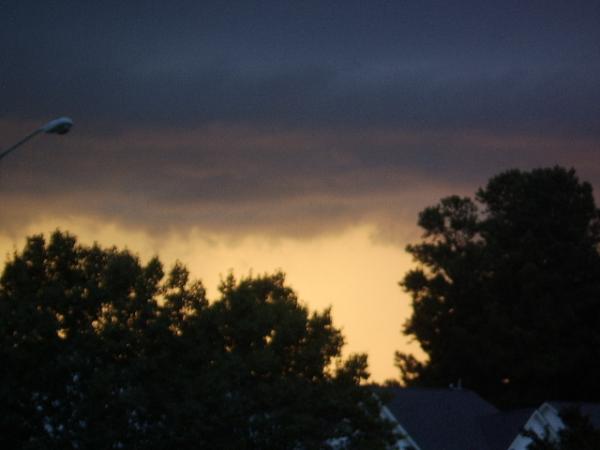
Heavy precipitation and strong storms will taper off through the evening hours before firing back up Saturday afternoon, WRAL Chief Meteorologist Greg Fishel said.
Storms developed more quickly in areas to the south and east of the Triangle Friday afternoon thanks to sunshine that crept through the clouds after lunchtime.
"The clouds we saw this morning in the Triangle kept temperatures down a bit, and that kept the instability down," WRAL meteorologist Nate Johnson said.
In Fayetteville and surrounding areas, a sunny morning meant a warmer day overall and a greater chance for storms.
The slow-moving front will keep rain chances in the forecast Saturday and Sunday while also knocking down high temperatures. Despite the brief break, temperatures will warm back into the mid and upper 90s by early next week.
"Unfortunately, it doesn't look like the front's going to bring us cooler and drier air," Fishel said of the cold front. "It's mainly just going to knock down our temperature this weekend because it's going to be cloudy and rainy. But it's still going to be humid as all get out and really isn't going to be all that pleasant."


• Credits
Copyright 2024 by Capitol Broadcasting Company. All rights reserved. This material may not be published, broadcast, rewritten or redistributed.


