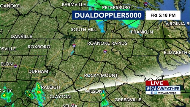
Cold front weakens before passing through NC
A cold front with a history of producing tornadoes and damaging winds will pass through North Carolina late Wednesday much weaker and with less potential for widespread severe storms, WRAL Chief Meteorologist Greg Fishel said.
Posted — UpdatedThe front will pass through overnight Wednesday, bringing rain through early morning Thursday. Fishel said it is possible, however, that more than 50 percent of the WRAL viewing area won't see a drop of rain from the front.
There is a slight chance that an isolated tornado could break out as the front passes through but nothing widespread like what ravaged the Midwest and South killing 12 people, WRAL meteorologist Mike Maze said.
High temperatures Wednesday topped out around 70 degrees, with much of central North Carolina seeing at least a passing shower or sprinkle during the day. Temperatures will stay warm overnight, something that could help fuel any storms that develop in the area.
Once the front clears, a high pressure system and warm southwesterly winds will push Thursday's temperatures to around 80 degrees across much of central North Carolina. The record high for March 1 was set in 1997, when the high at Raleigh-Durham International Airport topped out at 82.
High temperatures Friday and Saturday should remain in the upper 60s to low 70s, with the greatest chance for showers and thunderstorms coming on the first day of the weekend.
Cooler temperatures will return once that system clear, with highs Sunday and Monday topping out in the upper 50s and low 60s.
• Credits
Copyright 2024 by Capitol Broadcasting Company. All rights reserved. This material may not be published, broadcast, rewritten or redistributed.


