Senior hurricane specialist Michael Brennan
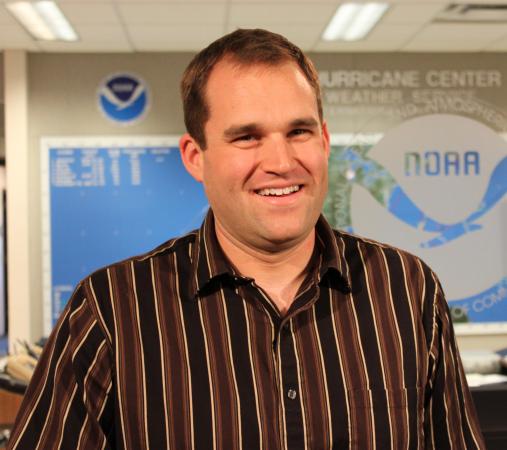
Michael J. Brennan is a senior hurricane specialist at the National Hurricane Center in Miami. He earned his bachelor's, master's and doctorate degrees from North Carolina State University. He is on the adjunct faculty at NCSU, teaches on a wide variety of topics for other meteorologists and emergency managers, and is active in the scientific community as an editor and reviewer for several journals.
Posted — Updated
Michael J. Brennan is a senior hurricane specialist at the National Hurricane Center in Miami. He earned his bachelor’s, master’s and doctorate degrees from North Carolina State University. He is on the adjunct faculty at NCSU, teaches on a wide variety of topics for other meteorologists and emergency managers, and is active in the scientific community as an editor and reviewer for several journals. He lives in Doral, Fla., with his wife, Jessica, who is also a meteorologist at the center.
The off-season is often just as busy as the hurricane season. We spend a lot of time on outreach and training for emergency managers to help them understand the threats associated with tropical cyclones, the uncertainty in the forecasts and how they can use our products to help make critical decisions such as evacuations. In addition, I develop training for other meteorologists and remain active in the research community, working with several collaborators to publish papers and present results at scientific meetings. We also have focal-point duties in the office, and I spend quite a bit of time on developing new tools and methods to help incorporate data into the forecast process.
There were also some major weather events that impacted my family when I was young. In November 1985, my grandmother lost her home in a catastrophic flood in the Roanoke Valley in western Virginia when the remnants of Hurricane Juan merged with a stalled cold front over the region. I also have pretty vivid memories of other major storms that impacted western Virginia, including Hurricane Hugo in 1989, the 1993 Superstorm and the January 1996 blizzard.
Once I realized you could have a career in meteorology, I began looking for opportunities to explore the field. N.C. State was the closest school with a major program in meteorology. After a year of community college I came to NCSU in the summer of 1996. I ended up being there for nine years through my Ph.D. work that I completed with Professor Gary Lackmann in 2005. Ironically, my graduate research focused mainly on winter weather and snow storms in the Carolinas and mid-Atlantic, but I was able to acquire a diverse skill set that led me to a career forecasting hurricanes in a place where snow is only something you see on TV!
I also had the opportunity to see the broadcast side of the field, first with Robin Reed at WDBJ-TV in Roanoke and later with Greg Fishel at WRAL. Even though I didn’t end up in broadcast meteorology, that experience definitely gave me an appreciation for how important the media is in getting the word out the public during a major event.
The biggest message people in North Carolina should take into the peak of hurricane season is that everyone needs to be ready every year for a potential impact, whether you live along the coast or well inland.
Coastal residents, including people who live along the sounds and tidal rivers, need to know if they live in an evacuation zone for storm surge. They need to have a plan for where they will go if they are told to evacuate. Inland residents also need to be aware of their risk for flooding from small creeks and streams to large rivers.
Flooding from heavy rainfall can impact all areas of the state, even from “weaker” systems like tropical storms, depressions or their remnants, since it’s how fast the system is moving instead of how strong it is that is the biggest factor in how much rain will fall. Additionally, high winds can also be a threat even well inland, as we saw in North Carolina during Hugo in 1989 and Fran in 1996.
After you get prepared, everyone needs to remain aware during the season and listen for any watches or warnings or instructions from your local officials. It’s also very important to remember to think of those people you know who may have a difficult time preparing or evacuating for a storm, such as the elderly or people with other special needs.
I’m also still a big fan of the Wolfpack and follow several of the sports teams closely. I try to make it to a football or basketball game each year, whether in Raleigh or in Florida if the Pack is playing down here.

• Credits
Copyright 2024 by Capitol Broadcasting Company. All rights reserved. This material may not be published, broadcast, rewritten or redistributed.


