Those of you who have followed WRAL for any length of time know that we're "into" new technologies. We're always on the lookout for new and innovative ways to forecast the weather, to show you what the atmosphere is doing, and to keep you safe when the weather turns downright ugly.
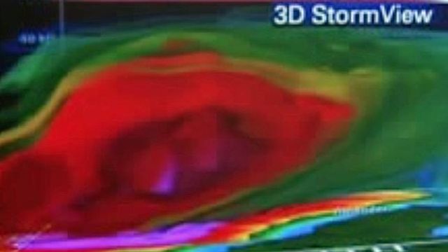
The newest tool in our toolbox is called 3D StormView, and last night's storm in Bertie County is a perfect example of something we can show you now that would have been difficult to show you before. 3D StormView allows us to really dig deeply into radar data, showing more than the standard two-dimensional "colors on a map" view we're used to seeing. We can now show you the storms in three dimensions. This can really bring out more of the dangerous parts of a thunderstorm -- large hail suspended above the ground (before it falls onto us!) and tornadic rotations inside the storm.
I've included three images from that big hail storm -- a storm that may also have spawned a tornado -- spanning a time period of a little more than ten minutes:
- In the first image -- about 6:24pm -- look for a red-and-purple blob on the left hand side of the image. That blob represents where large amounts of radar energy are being reflected back to the radar. In this case, it represents an area of large hail being suspended between 10,000 and 20,000 feet above the ground by upward-blowing winds in the storm.
- In the next image -- about 5 minutes later -- you can see the entire storm has moved a little to the east, and the "purple blob", the hail core, has descended just a bit, closer to that 10,000 foot mark. It's hovering over Aulander.
- In the final image -- from 6:34pm -- the hail core is all but gone. Where did it go? On top of the folks near Aulander, in the form of some very, very large hail.
How large? According to storm reports near Aulander, the hailstones were 4.25 inches in diameter. In other words, grapefruit-sized hail. Hail of that size is very rare, even in the Plains states, where large hail is much more common. It's even rarer here in North Carolina.
Just how much damage can a grapefruit-sized hailstone can do? Consider this: Typically, the thunderstorm must have an updraft near 100 mph to suspend an object that size. 100 mph is also about how fast those hailstones were falling when they hit the ground.
Copyright 2024 by Capitol Broadcasting Company. All rights reserved. This material may not be published, broadcast, rewritten or redistributed.


