
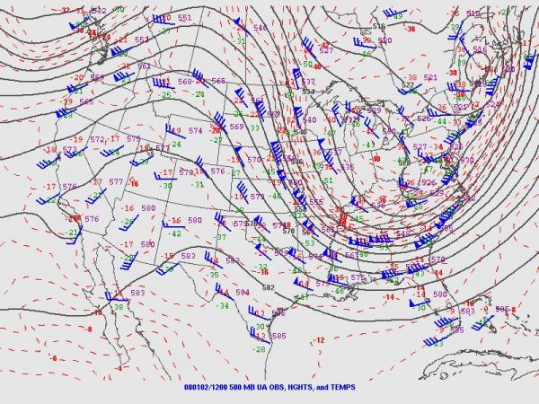
You've probably heard a lot about La Nina and it's tendency to leave the southeastern U.S. with the odds stacked toward winters that are warmer and drier than normal. One other characteristic of La Nina winters is a tendency for occasional "buckling" of the upper level/jet stream flow in a way that results in deep low pressure troughs and sharp ridges across the country. When the upper flow is in that state we call it highly "meridional" and tend to experience large swings in temperature, both above and below "normal" levels based on long-term averages, as deep southwesterly flows on one side of the major troughs sweep warm, moist air northward, and the opposite occurs beneath and to the west of the troughs, with arctic air pluging far to the south. On the other hand, when the upper level pressure patterns and jet stream flow settle into more of a smooth east-west configuration, with only minor troughs or ridges, we refer to that as a "zonal" flow, which is usually characterized by temperatures that don't fluctuate quite so sharply and often stay fairly close to normal levels. In addition, the meridional flow tends to produce larger, more intense storm systems and vice versa.
We've had a tendency for the past couple of weeks for strong meridional flows to develop, and the effects on our area have been evident with both temperature and precipitation. During the latter part of December, we saw temperatures climb sharply in advance of a deep trough to our west, with a high of 71 degrees at RDU on the Saturday before New Year's - likewise, a strong storm system swept the area and brought anywhere from .5 to 2.5 inches of rain, along with a few thunderstorms, as we closed out that weekend. Temperatures turned cooler after that, and by Wednesday January 2nd we were firmly into an arctic airmass, one that was cold enough to support a few flurries as an upper level disturbance passed overhead. In spite of sunshine part of the day on Wednesday and all day on Thursday, we had highs in the mid 30s, well below our normal of 50 and indicative of very cold air for these parts.
Now we're heading into the other phase of a similar meridional flow setup, and we've already seen a rapid warmup through the weekend just finished. It has actually occurred a bit faster than expected, with highs on Saturday (55) and yesterday (69) exceeding our forecast levels by a few degrees. Today, we expect to reach the low 70s, over 20 degrees above normal, and should add another couple of degrees on Tuesday before some moderation sets in. Our record highs are in jeopardy, especially for Tuesday. Those records are 74 degrees today (from 1946) and 71 on Tuesday (from 2005). Right now it appears we'll come up just short for today's high, with a better chance we'll exceed the "lower hanging fruit" for a new record on Tuesday.
Does all this mean another swing to much colder temperatures is on the way? That isn't an easy question to answer with confidence. Some computer model solutions have suggested that we will see a deep eastern U.S. trough develop this weekend into the middle of next week, with cold temperatures and a couple of coastal low pressure systems swinging by to our southeast, while others trend toward a less intense (and for us, milder) pattern with the upper trough stretched toward the southwestern U.S. instead. We'll probably need to reach the latter half of the week before we have a better sense of which way the pattern is more likely to develop. In the meantime, we appear to have at least some chance of needed rain on Wednesday, Thursday and Friday of this week. Unfortunately, the amounts are looking fairly small, with less than a tenth of an inch likely from showers as a cold front swings through on Wednesday, similar amounts with patchy drizzle and light rain as a warm front drifts in from the southwest on Thursday, and potentially a little more from showers (and maybe a thunderstorm or two) later Thursday night or Friday with another cold front that should leave us cooler for the weekend.
Copyright 2024 by Capitol Broadcasting Company. All rights reserved. This material may not be published, broadcast, rewritten or redistributed.


