
In the wake of two very intense severe weather outbreaks just to the west of our state, we've followed those with two outbreaks in these parts, one a rather widespread hail and damaging wind event on Monday 3 April, the subject of the last two entries prior to this one. Here, I just wanted to pass along that the Raleigh NWS office has constructed a nice follow-up event summary about that outbreak, that includes an impact map, satellite and radar imagery, and discussions of the synoptic situation leading up to the outbreak, along with a rundown on how the office chose to handle surveillance and warning duties that day. You can read more on the event at http://www4.ncsu.edu/~nwsfo/storage/cases/20060403/.
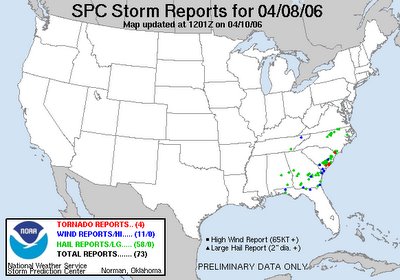
Following the next deadkly round of storms in the Tennessee Valley on Friday, we had another run-in with severe weather on Saturday in our area, although this time a rapidly weakening upper level support structure, limited instability and some degree of interruption to moist inflow by a heavy shower/storm complex to our southwest resulted in fewer storms for North Carolina. In fact, while several counties (Orange to Halifax, see map below) across the northern tier of our viewing area received penny to golf ball sized hail from a very intense and fast-moving (near 70 mph!) cell during the morning, no wind damage was reported. Rainfall amounts mainly ranged between one and four tenths of an inch, with a few outlier reports of just a few hundredths of an inch on the low end and about 7 tenths of an inch on the high end.


