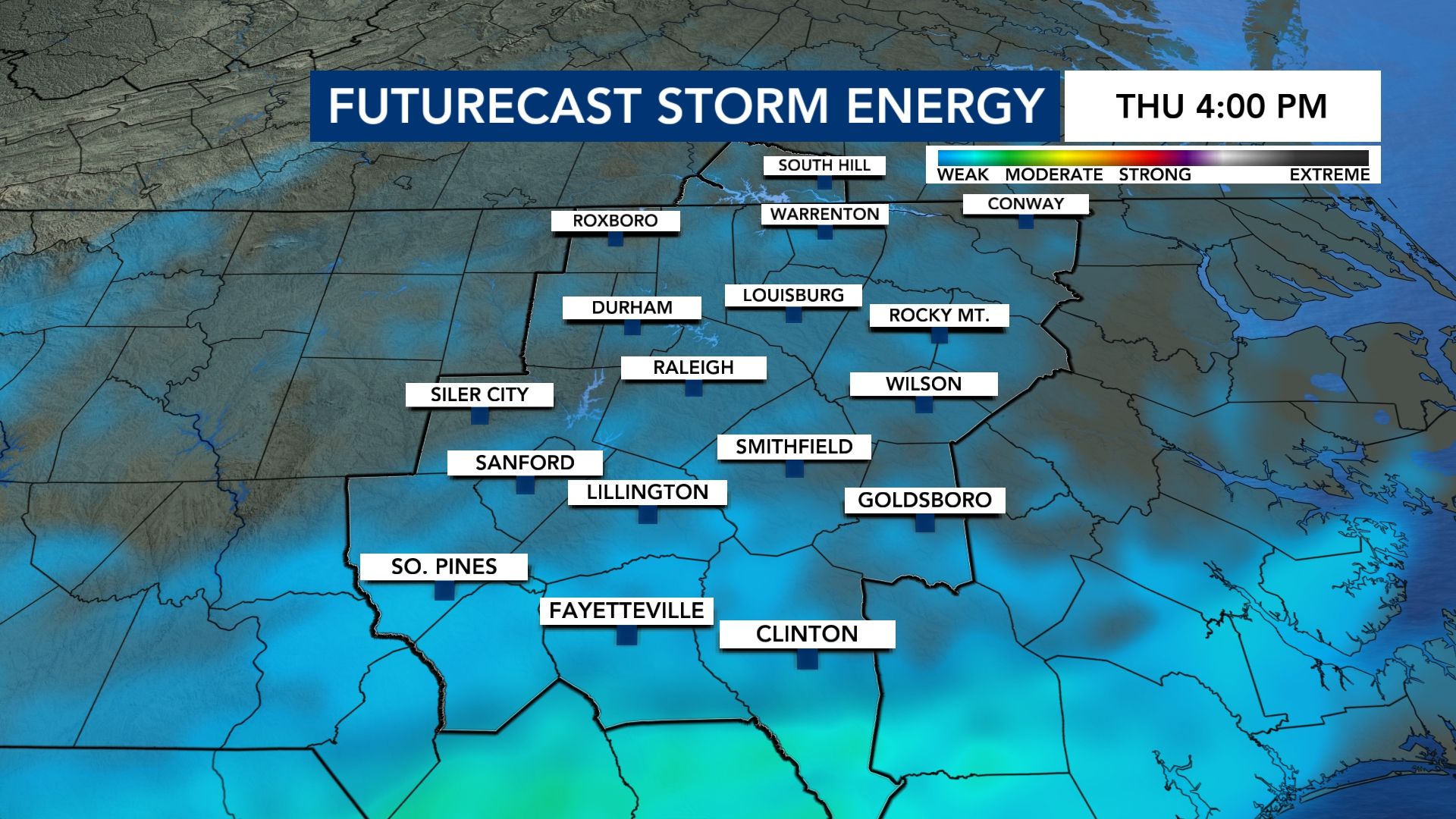
We are tracking the potential for much-needed rain Wednesday night and Thursday, and it thankfully looks like we'll avoid the threat for severe thunderstorms.
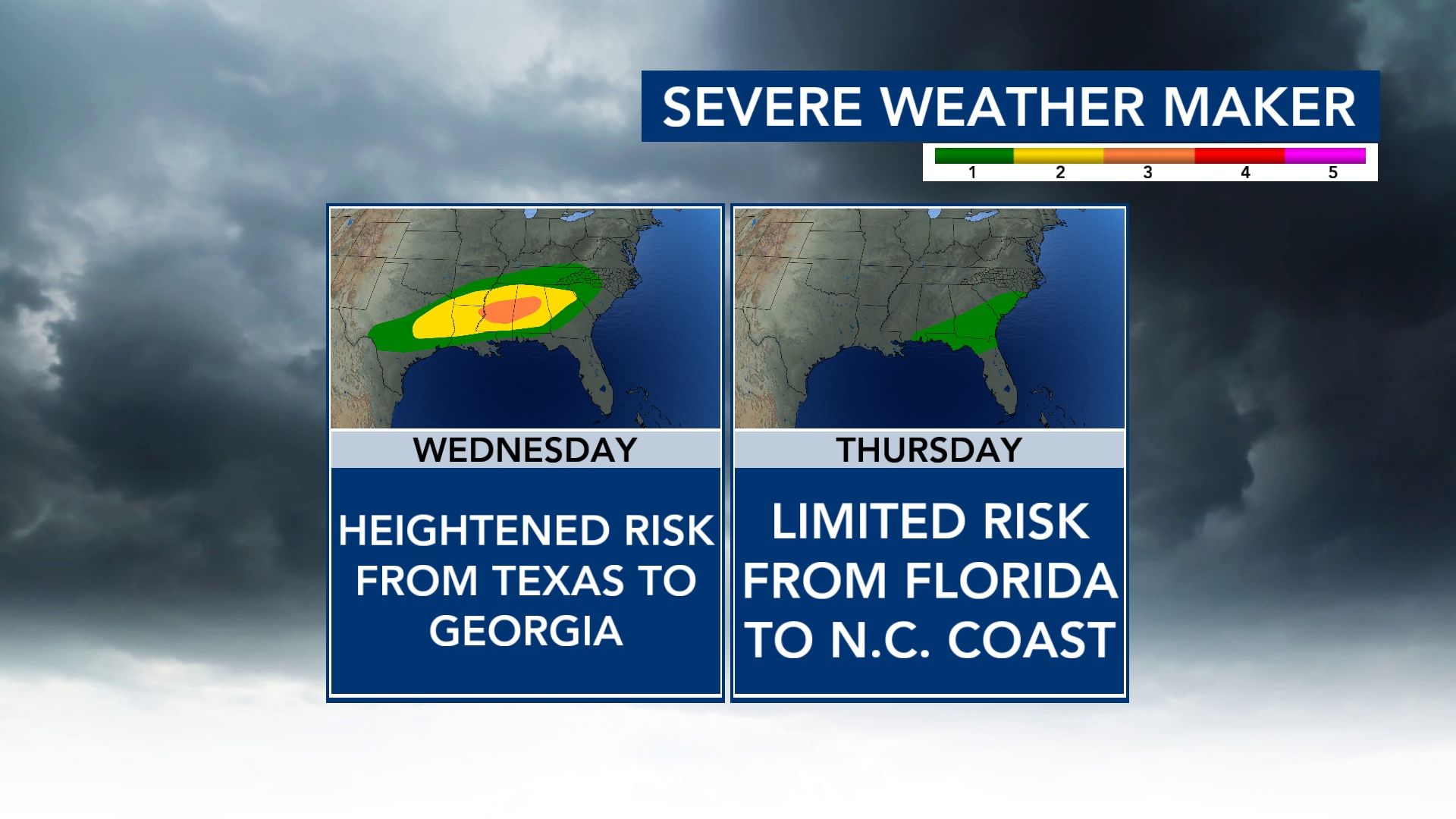
That severe potential is heightened Wednesday in the Gulf States and Tennessee River Valley. It's then much more limited and farther south of our area Thursday.
Other WRAL Top Stories
What causes severe weather?
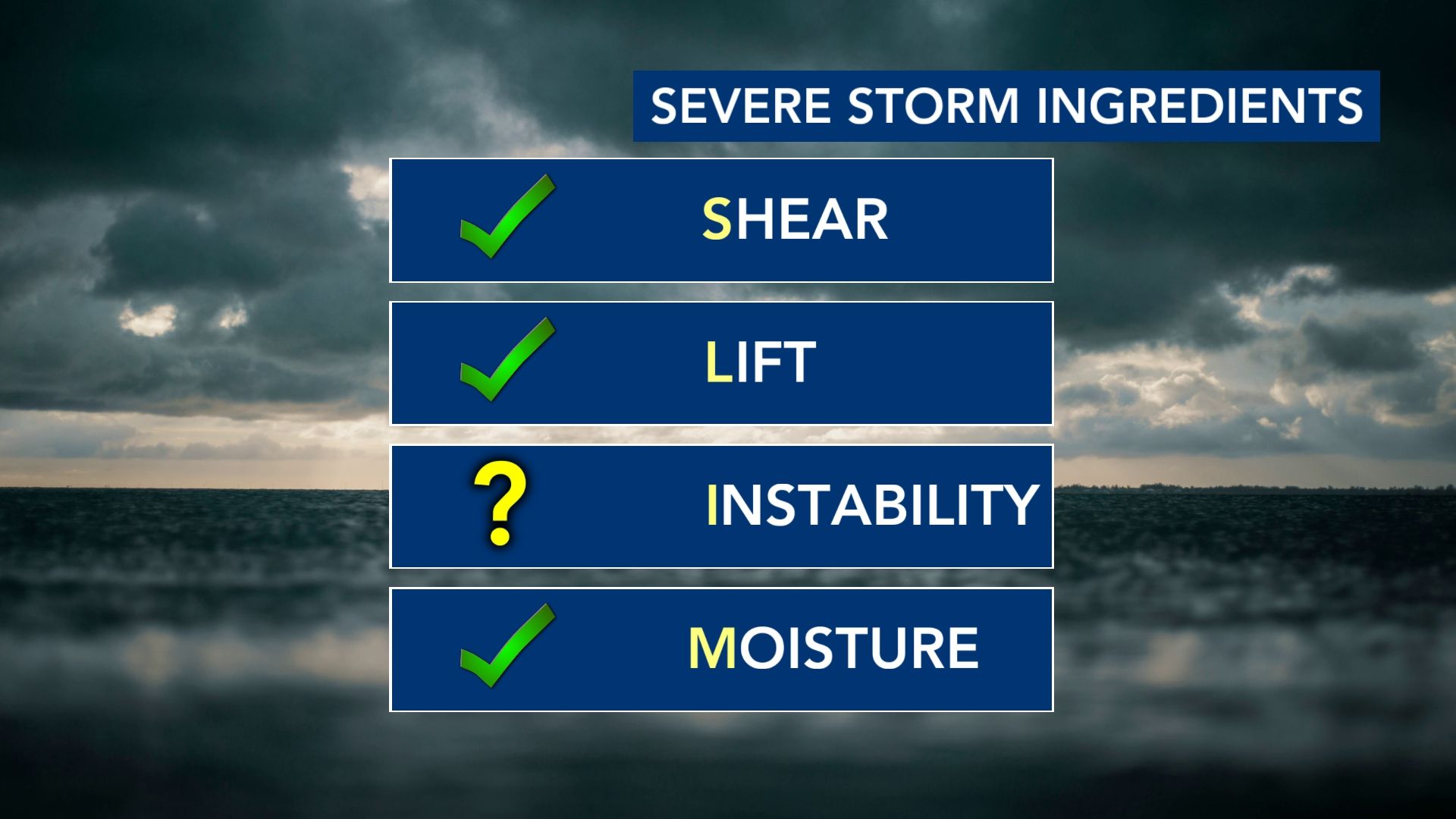
In meteorology, we love some acronyms. The one that helps us diagnose severe weather potential is SLIM.
Shear: This refers to changes in wind direction and/or speed with height. This helps to sustain a storm's updraft or allow it to rotate.
Lift: In order to get clouds (and taller clouds) that result in a thunderstorms, you need rising air.
Instability: This is your thunderstorm fuel, which is often derived from warm, humid air at the surface that rises and is warmer than the air surrounding it. (CAPE or Convective Available Potential Energy is the technical term, and it's measured in joules per kilogram.)
Moisture: This is obvious...
In the case of Thursday, we have three of the four needed ingredients. Instability is what may be lacking.
What is "the cap?"
A cap or a capping inversion is an easier way of describing something known as CIN - Convective Inhibition. (There we go with meteorological acronyms, again!)
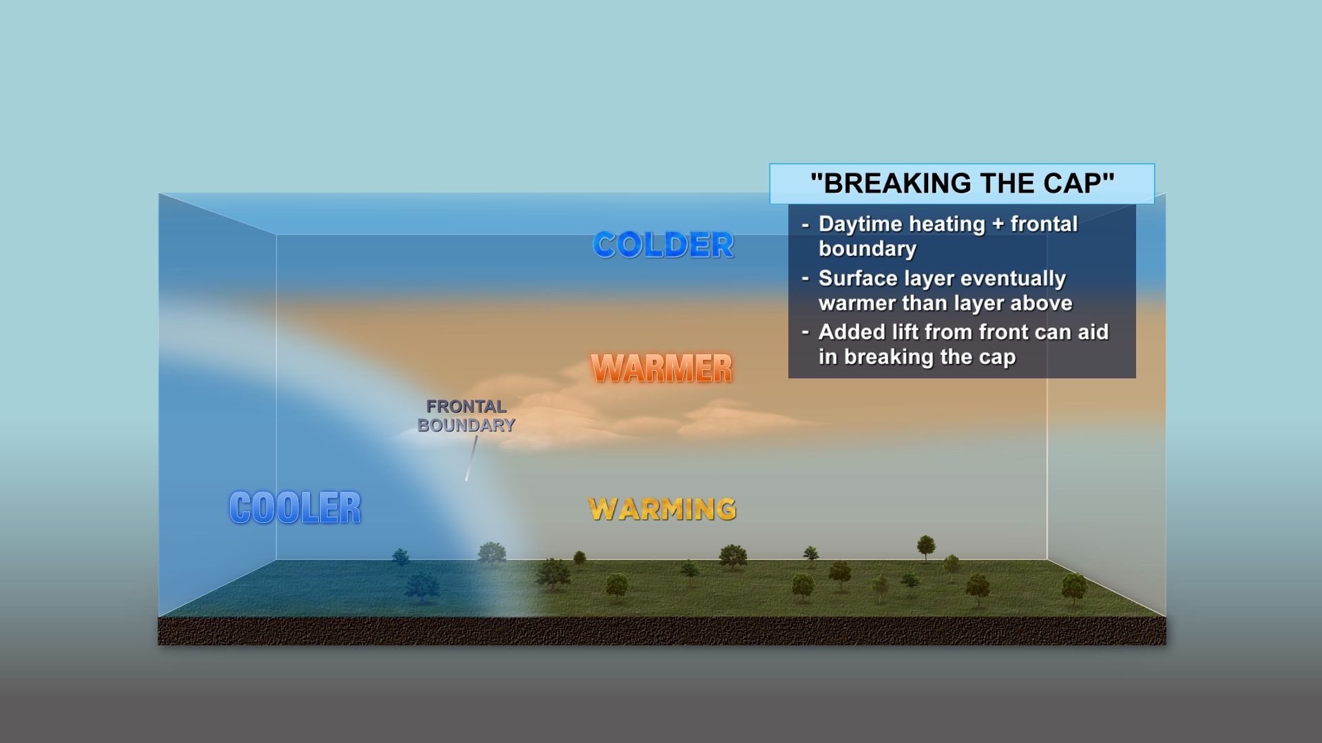
This refers to either a layer of warm and/or dry air above the surface that puts a "cap" on thunderstorm development.
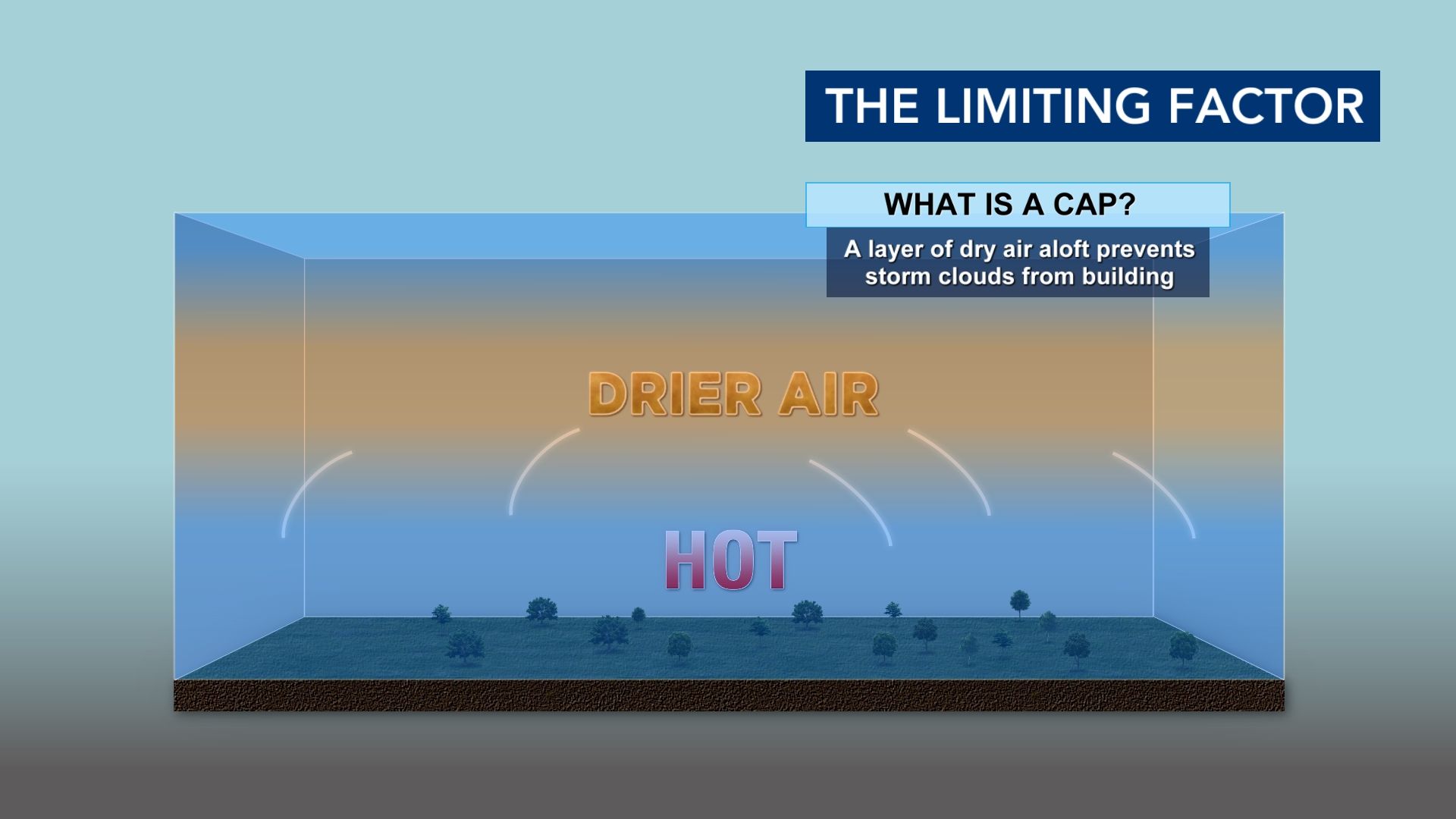
Picture shaking a bottle of soda. That soda wants to explode. However, if you have a cap on it, the soda stays confined to the bottle and never reaches its full potential.
There are ways in which the cap can be broken, though. Either you warm up the surface so much, that the rising air overcomes it.
Or...
You have a frontal system that induces its own lift that's strong enough to break through the cap.
Do we break the cap Thursday?
Most forecast data shows rounds of rain Thursday morning that would leave us relatively cooler at surface level. The air above would be warmer than that surface air, and that's your cap.
Our front might be just enough to break through the cap toward the Sandhills and Coastal Plain, but it's unlikely that happens in most of the WRAL viewing area.