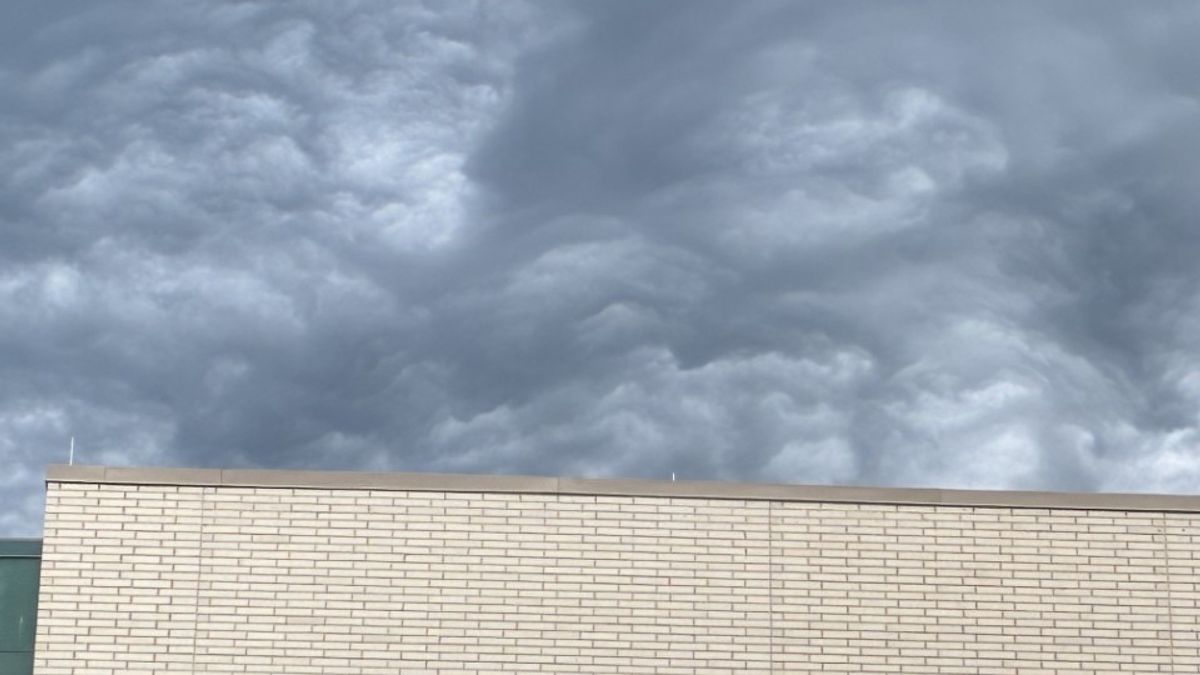
Because April has been so dry, we haven't seen the cool cloud formations that often accompany storms.
That changed Tuesday morning, and several people took note!
Other WRAL Top Stories
Send your pics to ReportIt!
A lot of the cloud photos we've been sent are undulatus asperatus. They're often called asperitas clouds.
These will form when there's turbulent vertical motion in the atmosphere. The constant up-and-down motion leads to the wave-like appearance.
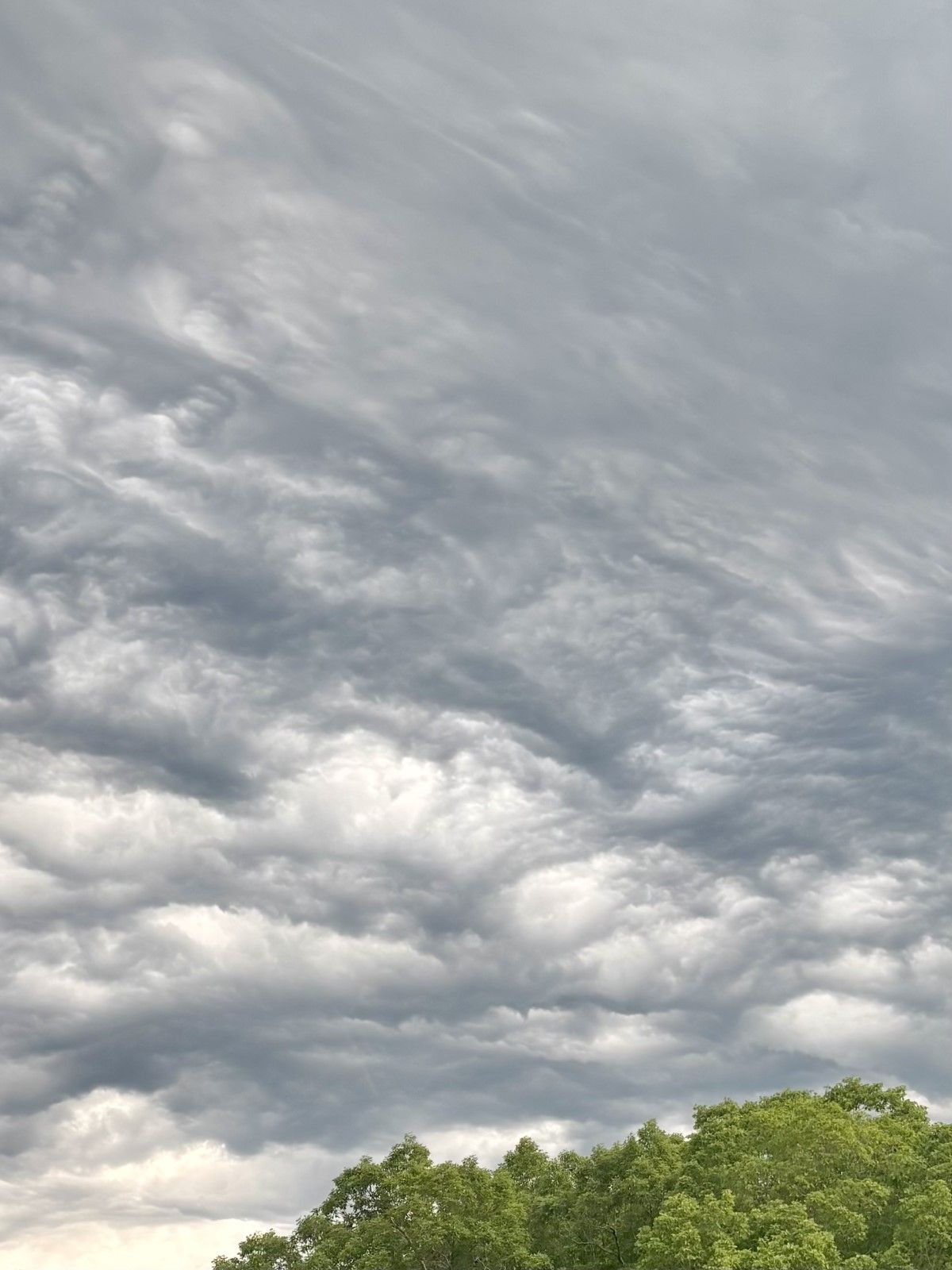
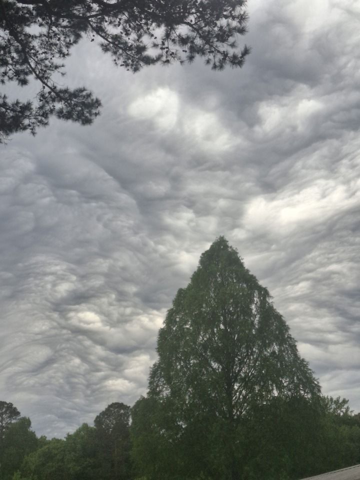
Another shot from Sahra in Chapel Hill shows the shelf cloud ahead of our batch of morning showers.
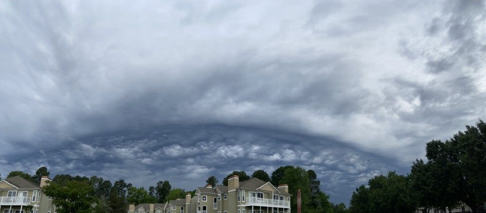
This shelf cloud is basically air running out ahead of the rain. Warm air is rising above the cool, condensed air and creating a shelf appearance.