Warmer air, rain headed for NC after frigid Friday
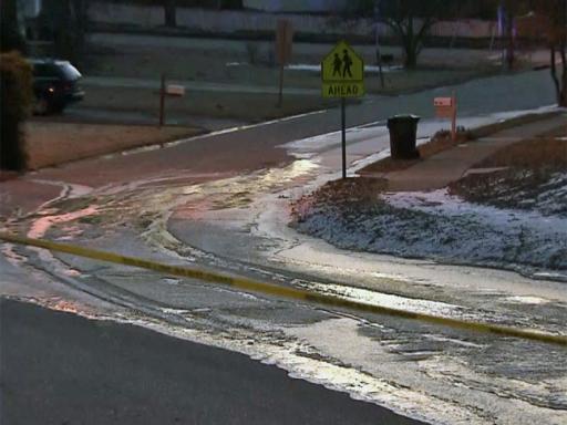
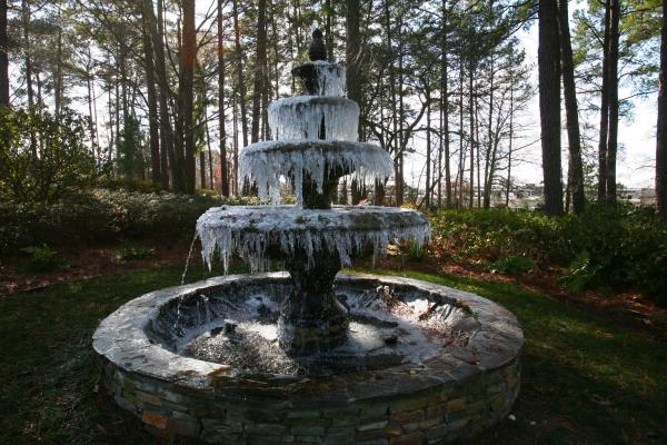
Bitterly cold and potentially dangerous arctic air will stay put across central and eastern North Carolina on the final day of the work week, but warmer weather and rain are headed toward the area for the weekend.
Posted — UpdatedTemperatures bottomed out at 7 degrees early Friday at Raleigh-Durham International Airport, shattering the old record for Feb. 20 of 13 degrees, which dates to 1979. Much of the area was still in the teens during the late morning, and daytime highs will reach only the mid-20s, about 25 degrees below normal for mid-February.
"It is dangerously cold. We're seeing some of the coldest air we've seen in more than 10 years," WRAL meteorologist Elizabeth Gardner said.
According to a Duke Progess Energy report, peak usage records were set Friday. They reported more than 21,000 megawatt hours of use, breaking the previous record of 20,799 set last January.
Temperatures will fall back into the teens overnight Friday, but a developing low pressure system and warm front will start to push warmer air into the Triangle Saturday morning. Temperatures should climb throughout the day as clouds fill in.
By mid-afternoon, highs should reach the low 40s as showers arrive.
"As long as the precipitation doesn't get here very early Saturday morning, which we're not expecting, this should be all rain," Gardner said. "Spots to the north and west could see a little wintry mix at first, but we're not thinking this will be a major impact event in terms of winter weather."
Overnight lows Saturday will be downright balmy, falling only into the upper 30s.
More rain is possible Sunday, when highs are expected to reach the mid-50s, near normal for this time of year.
Cold air is expected to push back into the area next week, as highs return to the 30s on Monday and Tuesday.
• Credits
Copyright 2024 by Capitol Broadcasting Company. All rights reserved. This material may not be published, broadcast, rewritten or redistributed.


