Fair Weather
... and then some! As all of us have noted on the air the past few days, our region is badly in need of rainfall to ameliorate the effects of the ongoing drought, so it can feel a little dissonant in using the usual terms like "pleasant" and "nice" in describing the kind of weather we've seen during that time. Weather is not something (in general) that we can control of course, so we have to deal with whatever nature dishes up. On the flip of all this is the State Fair, and in terms of enjoyable weather for the first few days of festivities, it has been an auspicious start, with surface high pressure northwest of the region bringing deep blue skies, light north winds, cool, crisp mornings and seasonably mild afternoons.
Last week, we set new record high temperatures three days in a row, and also extended our record for "latest 90 or above day in the year" at the Raleigh-Durham airport as a result of highs of 93, 94 and 88 degrees Monday through Wednesday. The 94 on Tuesday extended the "latest date" record from Oct 7th (prior to this year) out to the 9th.
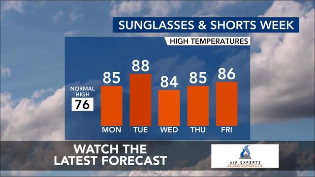
A fairly strong frontal system changed all that beginning Thursday, and we kicked off the Fair with much more seasonable highs, although even at that, we've seen a slow creep toward warmer readings that looks as if it may continue this week. Friday, Saturday and Sunday saw highs of 74, 75 and 78 degrees, just slightly on the warm side of normal, but we'll likely climb to around 80 or a little above for the next few days.
As we head into Wednesday through Friday this week, the forecast becomes a little more tricky as the remains of a weakening frontal system to our west drift into the area. For now, it looks as if most of the upper level energy supporting that front will skirt around the northwest periphery of an upper ridge in the southeast, leaving us with only a few spotty sprinkles or showers, mainly in the mountains and along the coast, on Wednesday and Thursday. There is another, follow-on upper level trough that models have variously shown as rather deep/intense and shallow/weak that moves by later Thursday into Friday. The stronger solutions would imply a pretty decent band of showers and potentially intense thunderstorms, while the weaker ones again would lean toward a minor event, with sprinkles and showers that are rather few and far between. Recent history would seem to argue toward the less intense system, but we'll have to get a day or two closer to the end of the week to develop more confidence in how this will play out since to this point the system involved is still out over the Pacific and forecast models have not been very consistent from one to another, or from one new update to the next within a given model, regarding its arrival time and intensity. It appears temperatures will generally run a little above normal into next weekend, with details in the Thu-Sat time frame dependent on how that frontal system and upper level trough evolve. There are some hints (mainly from the European model, or ECMWF) that after a very brief cooldown behind that system, we could finish out the Fair on Sunday with a very warm day.


