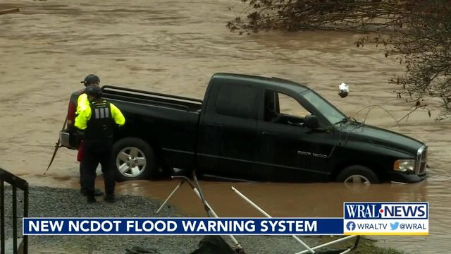
Interactive map, alerts can warn you if roads are flooded
North Carolina's transportation leaders say they are more prepared now than ever ahead of potential impacts this weekend from Hurricane Ian.
New technology has improved the North Carolina Department of Transportation's ability to monitor of rivers and coastal water levels.
As destructive hurricanes and tropical storms come and go, transportation leaders look for lessons to learn.
"During Florence and Matthew, we really realized the need for better awareness of where our roads are flooding and when," said State Hydraulics Design Engineer Manager Matthew Lauffer.
The state launched a new interactive map and alert network that covers 3,000 miles of roadways. More than 400 gauges across North Carolina track water levels under bridges, culverts and pipes.
"When the levels hit a certain hazard level, then we get an alert on that," he said.
Residents can sign up for alerts set based on their location. They can also check the state's map before they try to travel during potentially hazardous conditions.
"It's real-time information on the roadway network as the river stages increase, as the coastal surge comes in," Lauffer said.
The maps show where roads are closed and which roads are open.
Wherever water covers a road, Lauffer warns, don't take any chances.
"Make sure you don't drive in the water, because even if you think the road is there, it may not be there," he said.
Lauffer points to the state's climate science report to show the storms are only increasing in frequency.
"These trends will continue. More intense hurricanes, more intense localized storm events, and sea level rise will continue as well," he said.


