Fast-moving storms move out of Triangle, quiet afternoon ahead
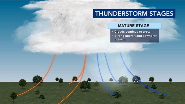
A fast-moving line of thunderstorms passed through central North Carolina Thursday morning.
The storms peaked in the Triangle between 5 a.m. and 7 a.m. with gusty winds, thunder and lightning waking up many people. Storms were worse north of the Triangle, according to WRAL meteorologist Elizabeth Gardner.
The storms moved out quickly, by 8 a.m., but could produce some leftover rain until 10 or 11 a.m. A level 1 risk for severe weather will expire by Thursday afternoon.
Get WRAL weather alerts on your device.
"Once this moves out it will be a decent day," Gardner said.
Thursday afternoon is expected to be nice with highs in the lower to mid 80s. Winds will pick up with some gusts possible as high as 35-40 mph.
Behind the front, temperatures cool significantly, from highs in the 80s on Wednesday to the mid-60s on Friday and for the weekend.
The chance for rain showers returns Easter Sunday and builds to about 50% coverage by late afternoon.


