Ask the meteorologist: Why do clouds stratify at certain levels?
Why do clouds stratify at certain levels? You might have a ceiling of 3,000 feet and all the clouds are within that narrow band. You can fly above it and there may be another layer above it or no clouds at all? -- Wes Miller
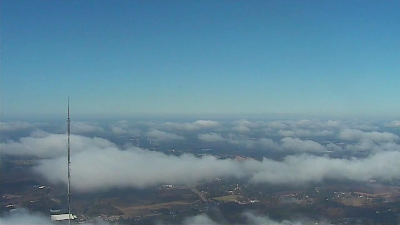
Answer: Whenever the atmosphere above a given region is reasonably stable, most of the motion of the air is nearly horizontal, and water vapor flowing along in the air isn't mixed all that well up and down and tends to be somewhat concentrated into layers having somewhat greater and lesser concentrations that depend on where that air came from and what kind of moisture sources were available along its past trajectory. If the air at most levels happens to be sinking slowly, due to terrain or because of diverging air flow near the surface or converging air flow aloft, for example, the air tends to warm up and the water molecules remain in vapor form leaving skies mostly clear. If the air is rising slowly, then it will cool, and upon cooling sufficiently condensation will result in the formation of cloud droplets. This occurs first at levels where the water vapor was most concentrated, and may leave significant layers in between that have not yet become saturated.
In addition, it is possible for the flow to be more complex, so that at some altitude ranges the air is forced to rise, while at others it remains at about the same height or sinks. The rising areas are more likely to form clouds as cooling occurs. In all these cases, the clouds tend to be fairly flat and smooth, or stratified in nature. They can in some cases appear a little lumpy, if the air at the level where the cloud droplets are condensing becomes weakly unstable, inducing shallow, cellular convective currents.
A very different type of cloud forms from surface-based convection, which occurs when localized heating by the sun (and occasionally by cooling aloft and/or the passage of an intense disturbance at night) produces stronger upward and downward motions that are concentrated into cells near the surface, or in the case of very unstable conditions, much taller convective towers in which the upward and downward motions may be as strong or stronger than the ambient horizontal air flow. In these cases, the air flowing upward cools and condenses, forming a cloud base at an elevation that depends on the average humidity and temperature of a layer near the surface. The resulting clouds can range from puffy or slightly flattened fair weather cumulus to cumulonimbus (thunderstorm) clouds that extend vertically from bases around 2,000 to 4,000 feet off the ground to tops as high as 40,000 to 60,000 feet.
As you might gather from this short and simplified discussion, the possible combinations of forcing factors for vertical and horizontal motions and resulting distributions of temperature, pressure, density and humidity are legion, and can lead to tremendous variety when it comes to cloud structure.
Curious about clouds?
- Ask the meteorologist: After a rainstorm the clouds goes away. Where do they go?
- Ask the meteorologist: How can clouds make the temperature rise?
- Ask the meteorologist: How do clouds make rain?
- Ask the meteorologist: How do clouds form and create snow?
- Ask the meteorologist: What's the difference between "mostly cloudy" and "partly sunny" or "partly cloudy" and "mostly sunny?"


