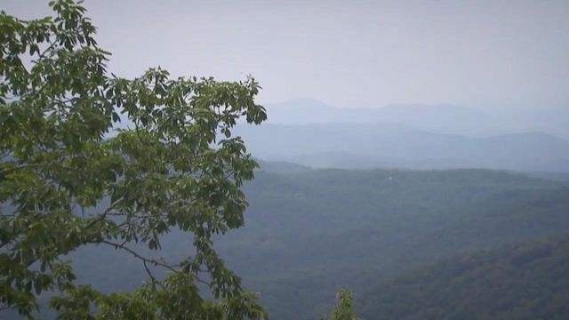
Sassafras Mountain Tower offers stunning views of NC, SC
The highest elevation in South Carolina touches the North Carolina border. The place is Sassafras Mountain, and a new observation platform provides spectacular views of both states.
Posted — UpdatedHeyward Douglas has worked hard to make the platform a reality. The area was once thick with trees, the only view from the peak was offered by a place you weren't supposed to be.
“There was a fire tower here,” Douglass said. “And the only view possible was to sneak up and climb the fire tower, and get right underneath the fire tower cab, just seeing above the tree tops, but it was a beautiful view.”
The fire tower was taken down in 1993. The view disappeared with it.
The platform, which opened earlier this year, straddles the North Carolina – South Carolina Border. A black line down the middle marks the state boundary.
The new view is a welcome change for 87-year-old Margaret Burns.
“It looks like the mountains are meeting the sky,” she said.
Burns grew up in the valley below, but with no view to enjoy, she never made the effort to get here.
“I think it's beautiful," Burns said of the view.
The observation platform counts as a two-state tour for mom Brandi Laporte. With school out, she's blending vacation with education for her children.
“We're trying to do this all summer long, trying to get out, and do things outside,” she said.
Douglas is proud of what is been built here. He believes these will be the stones of a foundation for future generation to get to know the area.
“To appreciate what we got before we lose it. We need to preserve that," he said.
Sassafras Mountain is located just north of Pickens, South Carolina. The trail to the top is wheelchair accessible.
Related Topics
• Credits
Copyright 2024 by Capitol Broadcasting Company. All rights reserved. This material may not be published, broadcast, rewritten or redistributed.


