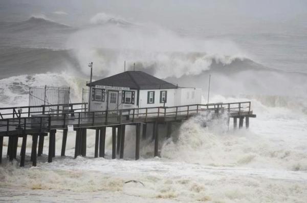
Rain, winds from Sandy will be felt in NC
"Saturday afternoon and Sunday, we'll see tropical storm force winds affect the eastern part of the state," said WRAL meteorologist Mike Maze.
Posted — UpdatedBy 5 a.m. Friday, Sandy – a Category 1 storm – had sustained winds of 80 mph and was moving northwest at 13 mph north of the Bahamas. Rain and high winds in Florida Thursday were attributed to the storm as well.
The storm is expected to clear Nassau early Friday morning, weaken, and shift slightly eastward as it heads into the Atlantic Ocean. As the storm moves up the coastline Saturday, it's expected to be a Category 1 storm. Tropical storm watches were posted from Savannah to the northern portion of North Carolina's Outer Banks about 5 a.m. Friday.
"Saturday afternoon and Sunday, we'll see tropical storm force winds affect the eastern part of the state," said WRAL meteorologist Mike Maze.
And the Triangle will hardly be left high and dry.
Rain from the storm could make its way into North Carolina as early as Friday evening. By Sunday night, coastal communities from Cape Lookout to Cape Hatteras could see four to five inches of rain and tropical storm force winds. Some overwash is likely on N.C. Highway 12 on the Outer Banks. "That happens rather easily," said WRAL meteorologist Elizabeth Gardner.
Wind gusts could extend all the way to the Triangle, and the central part of the state could see an inch or two of rain. "Sunday is the day we likely see most of the impact of the storm," Gardner said.
The impact on North Carolina could be greater should the storm shift west of its forecast track, but even with a change in direction it's not expected to make landfall anywhere south of the Chesapeake Bay area. The most likely landfall would be in the New York-New Jersey area.
"Once it bypasses North Carolina, we could still see the effects of the storm," Maze said. "It could sit and spin in the northeast for a few days."
The combination of Sandy coming from the Caribbean, an early winter storm from the West, and a blast of arctic air from the North may mirror the infamous nor'easter featured in the book and movie "The Perfect Storm," forecasters say.
• Credits
Copyright 2024 by WRAL.com and the Associated Press. All rights reserved. This material may not be published, broadcast, rewritten or redistributed.


