Rain to clear out, spring-like warming trend begins soon
The rain will continue to move out of the area overnight and the start of a major warm-up will begin soon.
Posted — UpdatedA steady rain began by mid-afternoon Friday in central North Carolina, and during the evening commute, the rain was heavy at some spots but nothing severe.
Meteorologist Mike Maze said the showers will continue to subside as the storm system moves northeast and toward the coast. By 9 a.m. Saturday, we should be completely rain free with participants of the Krispy Kreme run likely to avoid any wet weather.
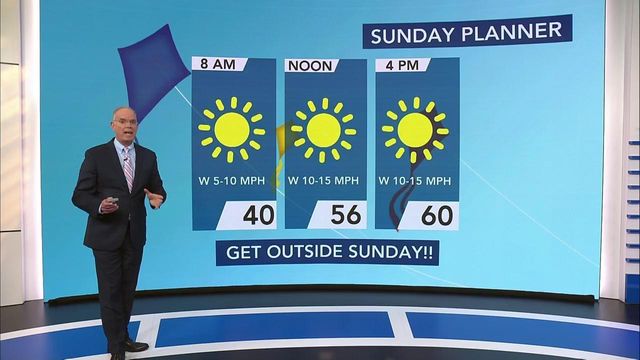
Overnight, temps will remain in the 30s. Things will warm up into the 50s on Saturday with a slight chance of sprinkles. By Sunday, a major warm-up will begin.
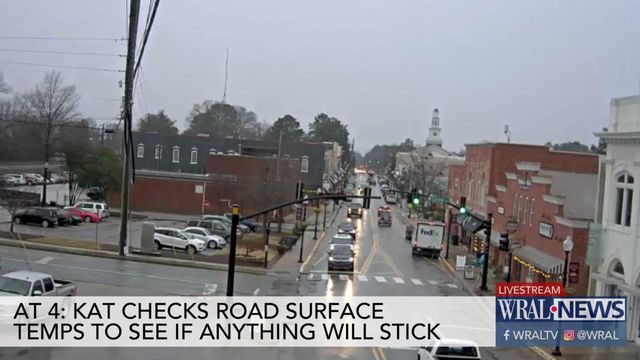
After a chilly, cloudy day in which the temperatures never got higher than 40 degrees on Friday, some of what fell looked like sleet or even snowflakes.
"Where frozen precipitation forms, it may even reach ground level, but the surface of the Earth is too warm for anything to stick," WRAL meteorologist Mike Maze said. "It will melt immediately. It's simply too warm."
Sunday could be the mildest day of the week, with a high around 58 degrees predicted for Raleigh. Then, Monday and Tuesday temperatures bring spring-like warmth, leaping into the high 60s and even the 70s.
Related Topics
• Credits
Copyright 2024 by Capitol Broadcasting Company. All rights reserved. This material may not be published, broadcast, rewritten or redistributed.


