
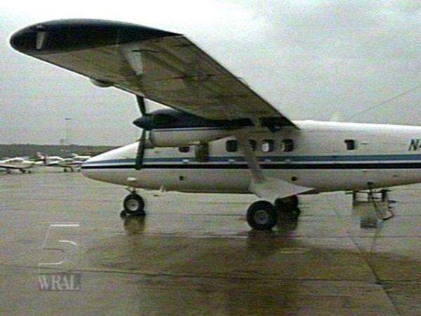
A plane loaded withNASAequipment scouted North Carolina beaches Thursday. The goal is to fully check the damage and map out plans to prevent further beach erosion.
A circle of laser beams from one researcher's instrument on the concrete looks like something from a sci-fi movie, but it could save you thousands of dollars one day.
It is part of a high tech method that federal agencies used to get precision maps of our coastline. North Carolina's coast, like every other one, is constantly changing shape. The pictures the researcher's plane takes shows us where they are shifting the most.
"What we have here is a new way of doing it which is going to be a lot faster and more efficient than the traditional surveying methods," explained Donna McCaskill, aNOAAspokesperson.
NASA says the technology at work is extremely accurate. Even at an altitude of 2,000 feet, all the gadgets and satelite equipment on board the plane make the maps accurate down to four inches.
"We know the speed of the light and air, and that's a very simple calculation to calculate the range from the aircraft to the ground," said NASA contractor Earl Frederick.
With this information, state leaders can better tell which coastal areas are safe to develop. While it cannot do much for existing structures, it could provide better warning for people who plan to build in unstable areas.
"An awful lot of coastal communities are facing very difficult decisions on how to protect structures that are in the way of coastal erosion," said Dr. Abby Sallenger, aUSGSoceanographer.
• Credits
Copyright 2024 by Capitol Broadcasting Company. All rights reserved. This material may not be published, broadcast, rewritten or redistributed.


