Thursday's storms are dropping several inches of rain across central North Carolina. The biggest risk will be flooding, but parts of the Triangle are already seeing power outages and downed trees.
See all alerts | Download the WRAL Weather App | Track rain with the DualDoppler5000
Other WRAL Top Stories
9:45 a.m.: A new flash flood warning is in effect for Chatham, Harnett, Lee, Moore and southwestern Wake counties until noon. See all weather alerts.
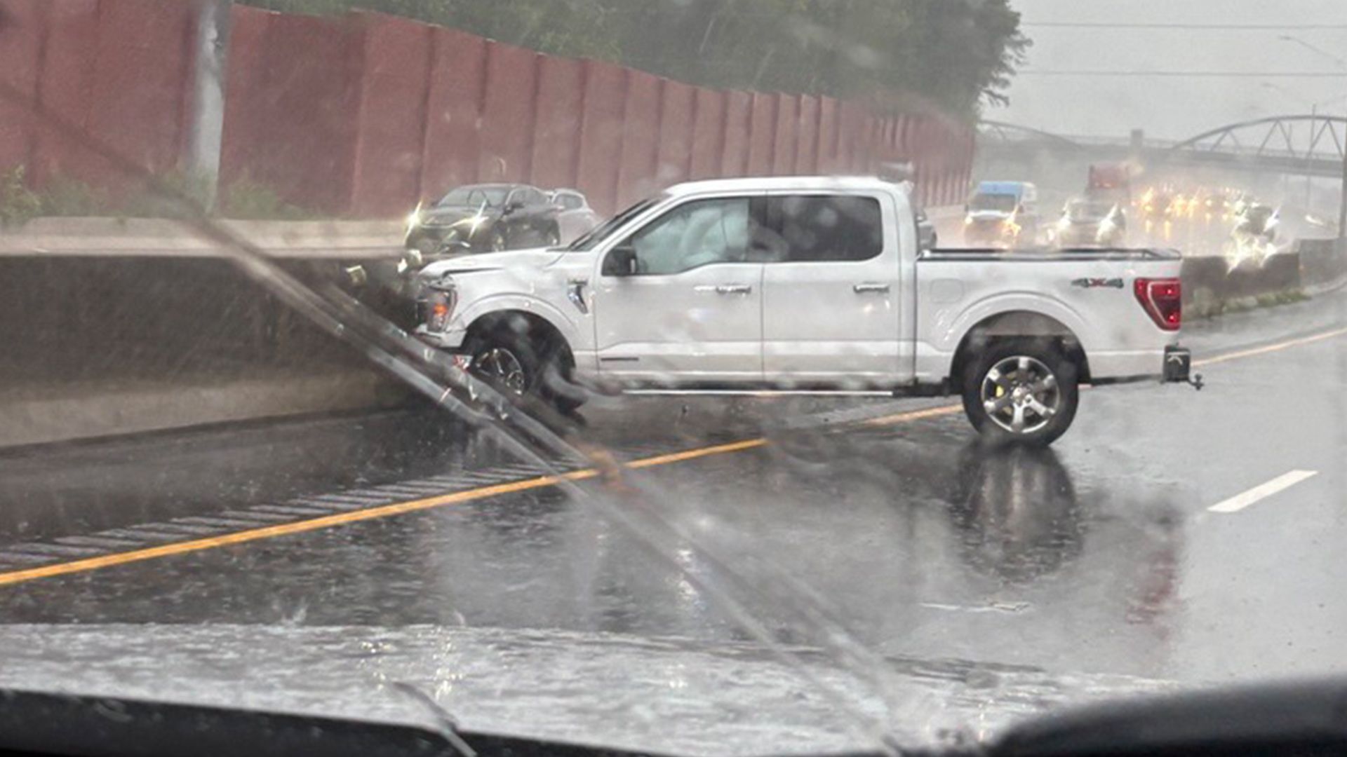
The inclement weather is causing numerous crashes. On Interstate 440 West in Raleigh, a pickup truck crashed into the concrete barrier.
9:30 a.m.: There's a new outage in Orange County, where around 400 customers are without power. There are also several hundred outages in Wake County.
Around 60 customers are without power near downtown Wake Forest, with impacted streets including South Brooks Street, East Jones Avenue, East Owen Avenue and South White Street.
9 a.m.: A portion of I-40 Westbound is closed between Exit 261 and Exit 259 due to flooding in Orange County.
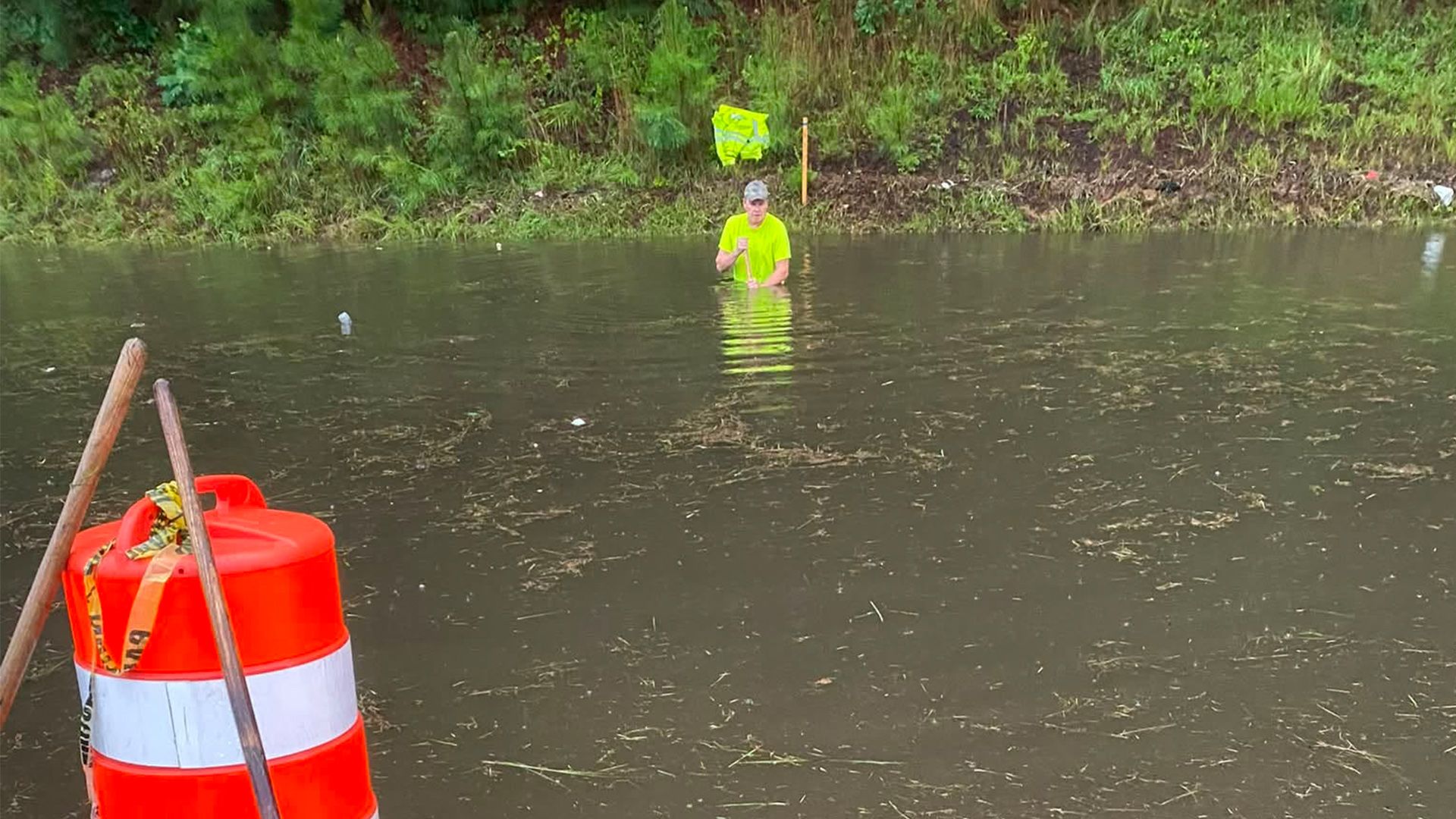
"We are responding to multiple calls for flooded roads, cars in the water and trees down," the Orange Rural Fire Department posted on Facebook. "If you have to go out, give yourself extra time. If you usually travel the interstate between Hillsborough and Efland to work or home, find a different route and stay off the interstate. As always, be safe and know that when you need us, we are coming for you."
8:30 a.m.: Crews are responding to a crash on U.S. 70 at N.C. 50 in Garner. A car is in a ditch, and traffic is backed up. There were reports of ponding in the area.
8 a.m.: Duke Energy's outage map showed around 2,000 customers without power in Durham. There is a smaller outage in Garner, showing 168 customers without power in the area of West Garner Road and Weston Road due to a fallen tree.
Another tree fell in Raleigh at Millbrook Road and Ivy Lane.
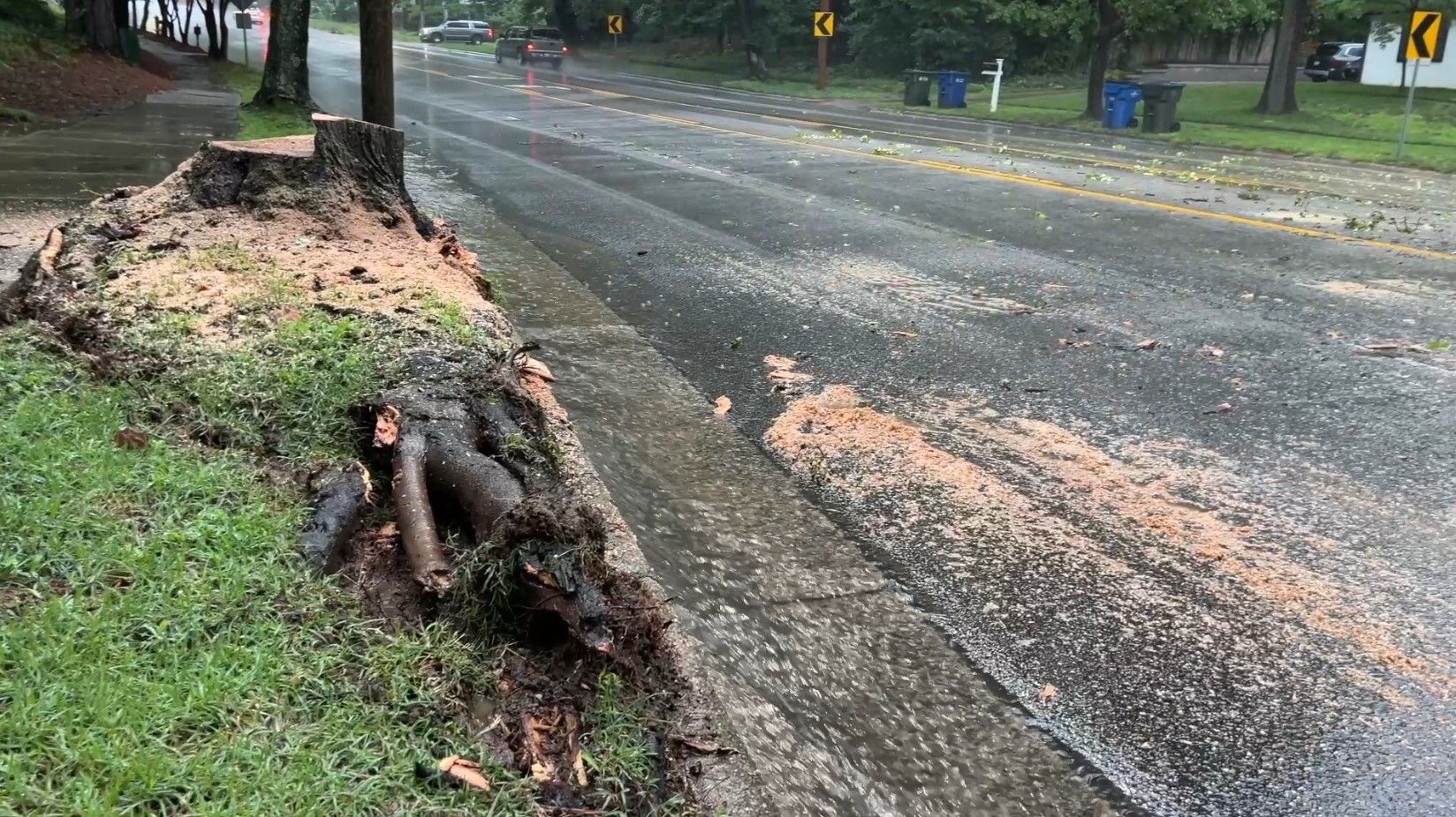
6 a.m.: More than 2,500 Chatham County customers were without power in Siler City, with outages extending up into Randolph County in Staley and Liberty. Many of the outages were caused by fallen trees or limbs damaging equipment. The estimated restoration time for that outage is as early as 7:45 a.m.
The High Point area is seeing more than 8,000 outages as of 6 a.m.
5 a.m.: According to the National Weather Service in Raleigh, more than 6 inches of rain have fallen in High Point as of 5 a.m. on Thursday. Burlington, Greensboro and Winston-Salem have also seen several inches of rain.
A flood advisory is in effect Thursday morning for Wake, Durham, Chatham, Orange, Person and Granville counties, which means flooding is likely. WRAL meteorologist Elizabeth Gardner said between 1 and 3 inches of rain has already fallen in the Triad, and more rain is expected.
Track rain with the DualDoppler5000
WRAL meteorologists said bands of rain will slide southward throughout Thursday. Some of the heaviest rain has already fallen west of the Triangle, in Durham and Chatham counties.
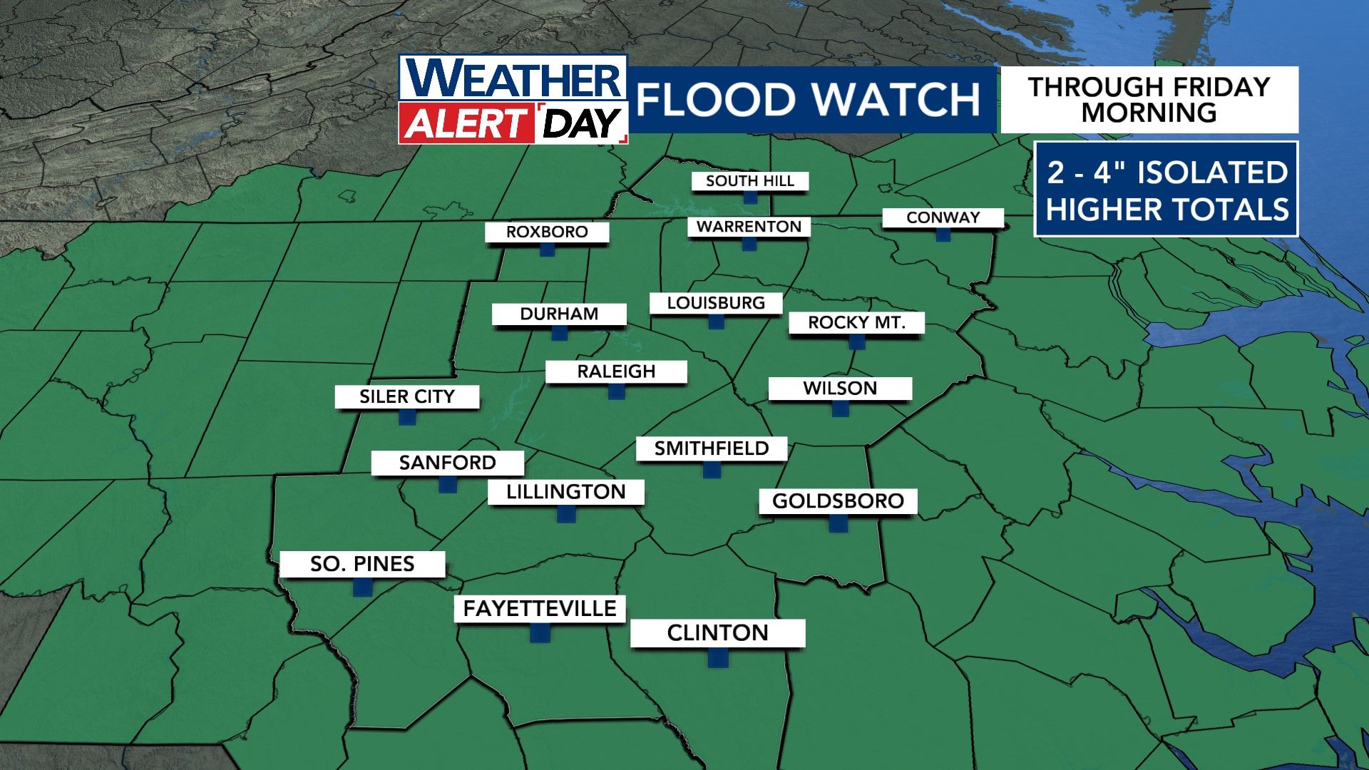
Areas southeast of the Triangle like Smithfield and Goldsboro could see the worst flooding on Thursday. Download the WRAL Weather app to get alerts and find the latest weather updates here.
Turn around, don't drown
WRAL News is already getting reports of ponding on roads Thursday morning.
The North Carolina State Highway Patrol has a life-saving message: "Turn Around, Don't Drown." Even a shallow amount of water can be dangerous.