Readiness, new maps a focus of NC hurricane workshop
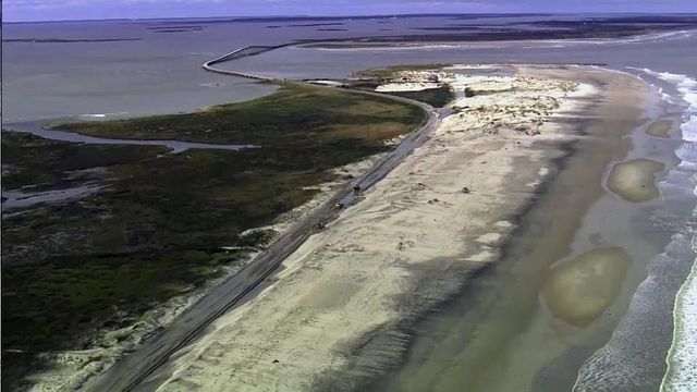
Hoping to keep coastal residents more updated on the risk from life-threatening storm surge waters, the National Hurricane Center will use an experimental approach in 2014 to highlight how deep storm surge waters will be in specific locations and the reasonable worst-case scenarios as hurricanes approach the North Carolina coast.
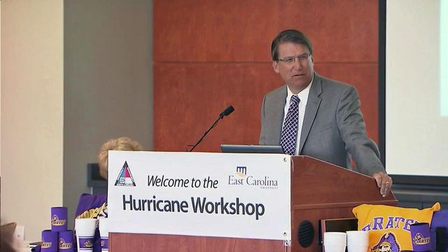
Posted — UpdatedFour days before the Atlantic basin hurricane season begins, scientists, emergency management officials and meteorologists gathered in Greenville on Wednesday to discuss the latest forecasting and warning methods at the fifth annual North Carolina Emergency Management Hurricane Conference.
Jamie Rhome, a storm surge specialist with the National Hurricane Center, spoke at length about the agency's desire to provide clearer, more detailed forecasts for storm surge, the most deadly feature of most major hurricanes.
"The majority of people who die in a hurricane are killed by storm surge. We evacuate people in this country because of storm surge," Rhome said.
The re-purposed graphic that NHC will make available on its website during the 2014 season will use tides, currents and other factors – like the size of a storm or how fast it's traveling – to predict how high the surge might be in a specific location and when it may hit.
The map will be activated when a hurricane or tropical storm is announced, or about 48 hours before the onset of tropical storm force winds, and it will be updated along with National Weather Service advisories every six hours.
Gov. Pat McCrory opened Wednesday's conference by commenting on the importance of teamwork, communication and flexibility when responding to extreme weather events.
McCrory also commented on the need for residents to be prepared.
"I think the most important challenge we have, we have to convince citizens to be prepared for the unexpected," he said. "That, to me, continues to be our greatest challenge."
Forecasters have predicted a less-severe-than-usual season because of changes in rain and temperature patterns around the world associated with an expected El Nino, the National Oceanic and Atmospheric Administration said in New York City.
Cooler temperatures on the surface of the Atlantic Ocean compared with recent years will likely reduce the number and intensity of tropical storms and hurricanes, but it only takes one storm to wreak havoc.
Officials expect about eight to 13 named tropical storms and three to six hurricanes. One or two major hurricanes, with winds over 110 mph, are forecast.
Forecasters got it wrong in 2013 when they predicted an unusually busy hurricane season. There were 13 named storms and two hurricanes, Umberto and Ingrid, both of which were Category 1, the lowest on the scale that measures hurricanes by wind speed. There were no major hurricanes.
In 2012, storm surge was devastating to the New York area when Superstorm Sandy slammed the East Coast, killing 147 people and causing $50 billion in damage. Sandy lost hurricane status when it made landfall in New Jersey.
"It's going to happen again. Something is going to happen," McCrory said of the threat of strong hurricanes. "We just don't know when and where and how. The thing we have to do is learn from the past and prepare for the future."
• Credits
Copyright 2024 by Capitol Broadcasting Company. All rights reserved. This material may not be published, broadcast, rewritten or redistributed.


