Here are the records we're breaking this hurricane season
The 2020 Atlantic hurricane season continues to add insult to injury. As Alexander would say "it's been a terrible, horrible, no good, very bad year" and, of course, we are not only talking about hurricane season. So far, the Atlantic hurricane season has seen 26 named storms: 10 becoming hurricanes and 3 becoming major hurricanes.
Posted — UpdatedThe 2020 Atlantic hurricane season continues to add insult to injury. As Alexander would say “it’s been a terrible, horrible, no good, very bad year” and, of course, we are not only talking about hurricane season. So far, the Atlantic hurricane season has seen 26 named storms: 10 becoming hurricanes and 3 becoming major hurricanes.
Of the 26 named storms, 23 set records for forming earlier than any of their previous alpha-numerical counterparts. When it comes to the 10 hurricanes, only 4 other years since 1966 (beginning of the satellite era) have seen 10 or more by this date – 1969, 1995, 2005 and 2017.
Comparing this year to years past, we are 2 named storms away from tying the record amount of 28 named storms set in 2005. If you are looking for some positives, 2005 saw 15 hurricanes and 7 major hurricanes and while we still have over a month to go, it looks like we will stay below those awfully impressive stats. Unfortunately, the negatives return when breaking down how many tropical systems made landfall on the United States mainland.
"2020 has seen more U.S. Mainland Landfalls than any other previous year," Steve Bowen, a meteorologist and head of catastrophe insight at Aon PLC said on Twitter. "Prior to Delta's landfall, 2020 U.S. tropical cyclones had caused at least $26 billion in direct economic loss or damage (amount is subject to change).”
Breaking down this year's activity
Earlier this year, meteorologists at Colorado State University (CSU) released extended range forecasts of the potential activity in the Atlantic. When comparing their first and last forecasts, we see an increase in the total number of named storms, hurricanes and major hurricanes to be seen by the end of hurricane season. Even with the minor changes, they were very good in giving us a heads up of the active season we would face.
When commenting on those extended range forecasts, Dr. Klotzbach said “the higher than normal forecast is due to warmer than normal ocean temperatures present early in the season in the tropical and subtropical Atlantic.” Beyond those warmer than normal ocean temperatures in the tropical Atlantic, cooler than normal ocean temperatures were appearing in the Equatorial Pacific.
Those cooler than normal temperatures were the beginning of La Niña- the cold phase of the El Niño Southern Oscillation (ENSO). The ENSO cycle is a scientific term that describes the fluctuations in temperature between the ocean and atmosphere in the east-central Equatorial Pacific. These deviations from normal surface temperatures can have large-scale impacts not only on ocean processes, but also on global weather and climate.
When La Niña conditions are present westerly trade winds typically become weaker. This, in turn, lowers the amount of vertical wind shear (difference in wind speed with height in the atmosphere. Those conditions create an environment conducive to the development of tropical waves and weaker areas of low pressure. La Niña conditions, paired with warmer water temperatures in the tropical Atlantic are primary reasons why this season has been so active.
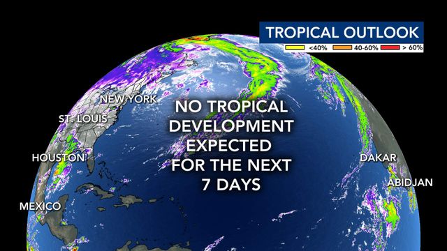
We are still a month away from the end of hurricane season and tropical systems can form and develop closer to home. Notable hurricanes like Hazel, Michael, Matthew, Sandy and Wilma all formed in October – many of them within the “most-likely” formation zone.
• Credits
Copyright 2024 by Capitol Broadcasting Company. All rights reserved. This material may not be published, broadcast, rewritten or redistributed.


