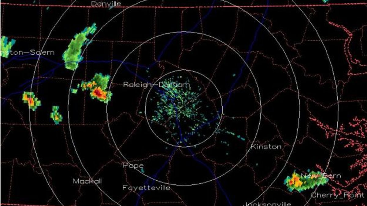
MIKE MOSS SAYS: Gwen, The attached image from the radar archive site at Plymouth State University shows the storm cell you are referring to about the time it reached its greatest intensity. The cell moved from just south of Greensboro in Guilford County southeast across your area and finally weakened greatly as it moved into Lee county a little later on.
While it is not unusual to have a very intense storm like that around our area once in a while, for any specific location a storm strong enough to produce the kind of rainfall intensity you mentioned is a rare occurrence, since you measured what would amount to a 12"/hour rainfall rate! Also, the majority of severe storms in our area tend to move along a southwest to northeast track, while this one moved in a less common direction, northwest to southeast.
Other WRAL Top Stories