The question “will we see snow?” seems simple enough that it deserves a simple answer, but, as a North Carolinian, you know there is never a simple answer to that question. “Yes” or “No” are not answers your WRAL meteorologists will typically give you when you ask them in passing at your local grocery store. They are more likely to start a very long discussion that is sure to include enough weather jargon to drive you mad.
So, is it going to snow Thursday? As of Wednesday morning, models are in better agreement that we will see snow fall across central and eastern North Carolina. It is also looking more likely that many areas will see snow accumulation on grass and elevated surfaces.
Other WRAL Top Stories
What is the setup and why is it looking more likely?
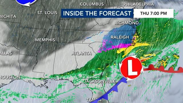
In most of our previous winter-weather events, an area of low pressure offshore and its ability to bring in colder air at the surface while also having moisture aloft is the main culprit.
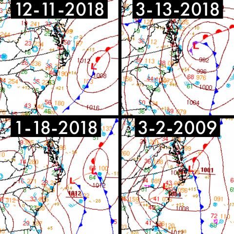
Thursday’s setup up is taking on that similar look and is a big reason why confidence is increasing in not only seeing snow, but seeing snow accumulate. The biggest concern is if enough cold air will filter into North Carolina while moisture is still present.
What is the timing?
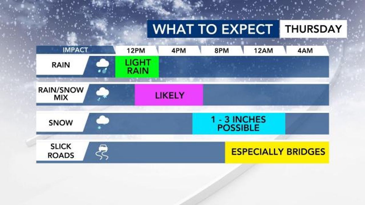
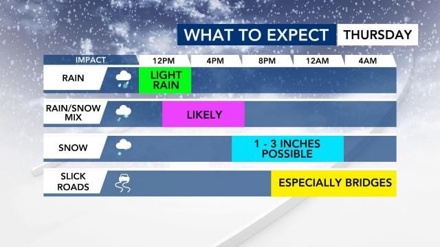
Thursday will begin with scattered light rain and that could impact your morning commute. It’s not until the early afternoon that a transition from rain to a rain/snow mix will take place. There is some uncertainty as to how long that rain/snow mix will last before a total transition to snow takes place, but a transition to snow is likely. The snow that does fall is going to be heavy and wet with a snow to liquid water ratio of 3-1.
How much snow?
Now for the biggest update…how much snow are we talking about where you live? Everyone should see snow fall Thursday evening and night, but exact accumulations will change over the next 24 hours. Here is our latest thinking as of Wednesday at 7 AM:
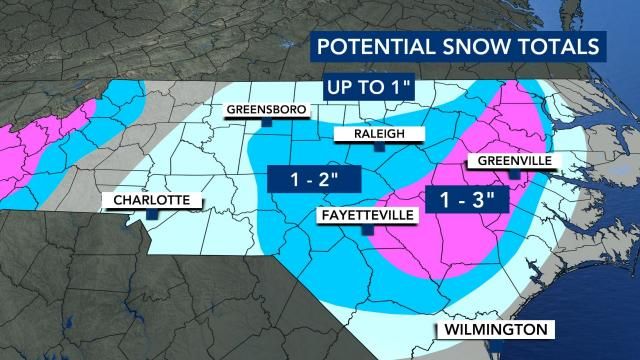
There you have it. It looks like this time that answer to “Is it going to snow?” is not as hard as it usually is. The answer, of course, is yes. Snow is going to fall and the potential for accumulation of 1-3” is increasing.
Make sure you watch WRAL News over the next 24 hours for updates on when the transition between rain-rain/snow-snow will take place as we will have the coverage you can count on.