Want to know if you're at risk for flooding?
North Carolina's Flood Inundation Mapping and Alert Network (FIMAN) map shows flooding forecasts from more than 600 gauges across the state so people can see if their area will be flooded during a particular storm.
Other WRAL Top Stories
People can click the "bell" icon in the top right corner of the map to be notified if a river is flooding in their area.
Flooding can happen anywhere -- even at the mountains and in the Triangle.
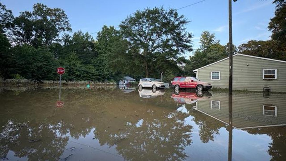
Tropical Depression Chantal led to severe flooding in parts of Durham, Chapel Hill, and in Person, Alamance and Chatham counties between July 6-7, 2025. Cars were submerged in water, homes and businesses were flooded, and several people died.
In September 2024, Hurricane Helene brought devastating flooding and landslides to the mountains, completely taking out homes and leaving popular tourist areas uninhabitable for months. More than 100 people died in North Carolina.
In September 2018, Hurricane Florence dumped 8 trillion gallons of water across North Carolina. It happened just two years after Hurricane Matthew brought devastating rainfall to the same area.
Flooding isn't just a problem at the coast during hurricanes and other storms. River flooding can devastate communities, especially in areas hit with rain along and east of Interstate 95.
Both Matthew and Florence brought record flooding to North Carolina’s rivers. During Matthew, the Lumber River in Lumberton crested at 28 feet, the highest it ever had. That record was shattered when Florence crested the river just two years later at 29 feet and covered parts of I-95.
The Neuse River in Goldsboro also crested to record levels during Matthew, rising to 29.74 feet. Two years later, during Florence, it reached the third highest crest on record at 27.6 feet.