Thunderstorm warnings across central North Carolina were cancelled Thursday night after a front temporarily sparked severe evening storms.
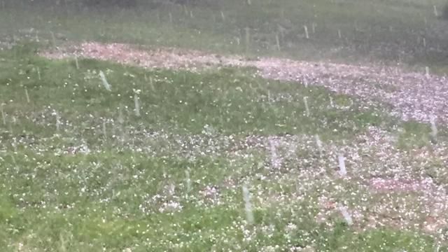
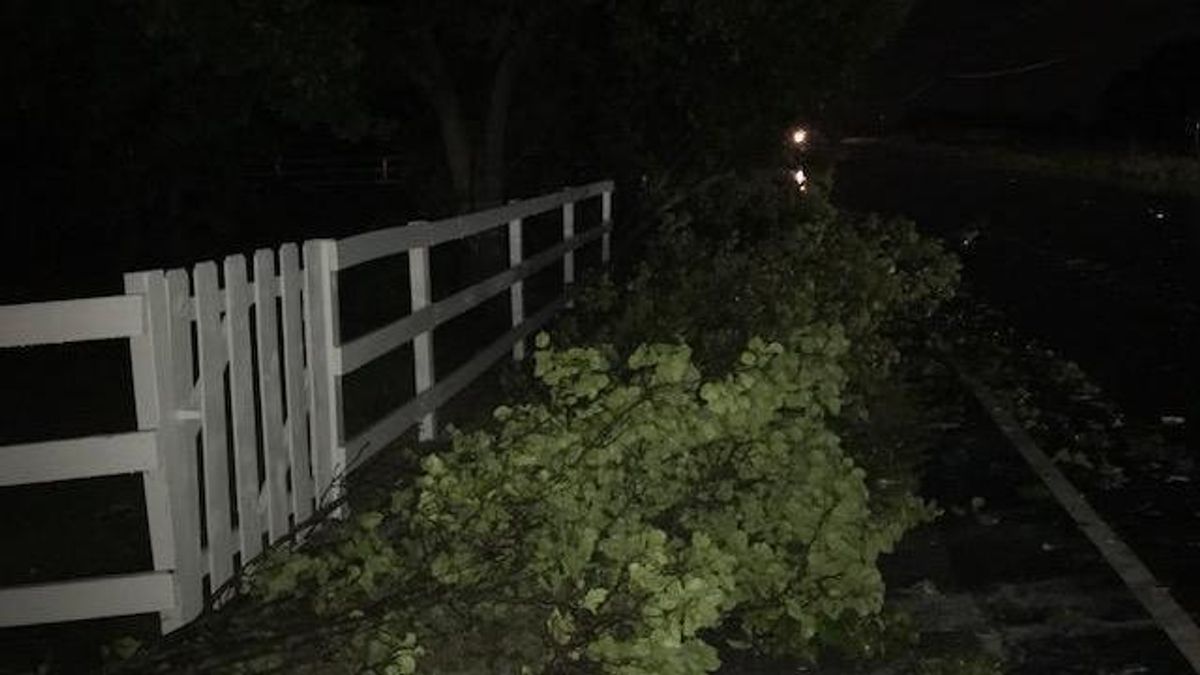
The severe weather, which brought high winds and hail, caused minor damage and left thousands without power in the Triangle.
Other WRAL Top Stories
"The majority of our area is dry now," WRAL meteorologist Mike Maze said at 11 p.m. "These storms have passed through our area. Any rain will come to an end shortly."
The storm did bring some minor damage to the area. Authorities reported a tree down at Lake Wheeler and Tryon Roads in Raleigh and multiple trees down in Pittsboro.
The National Weather Service issued a severe thunderstorm watch for 25 North Carolina counties Thursday evening, including Durham and Wake, that lasted through 10 p.m.
"The majority of this weather is over, and we're looking at dry overnight hours," Maze said.
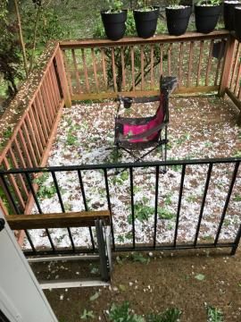
The power was out for several thousand people in Durham and Franklin Counties. Some residents of Durham County reported hail the size of golf balls in the evening hours.
DualDoppler radar shoed large hail – up to almost 2 inches in diameter – falling north of Durham at about 6 p.m.
Behind the stormy weather is a heat wave more common to July than May.
"We're looking at scorching temperatures this weekend," Maze said.
Warm temperatures will hold on into the weekend, too, as the mercury rises to 88 on Friday, 91 on Saturday and a sweltering 93 degrees on Sunday.
Ninety-degree temps will persist into next week before dipping back into the 80s on Wednesday.