Rain comes to an end; drier weather ahead
Driving rain from a storm system moving up the East Coast brought flooding to parts of central and eastern North Carolina on Thursday, but relief is on the way this weekend.
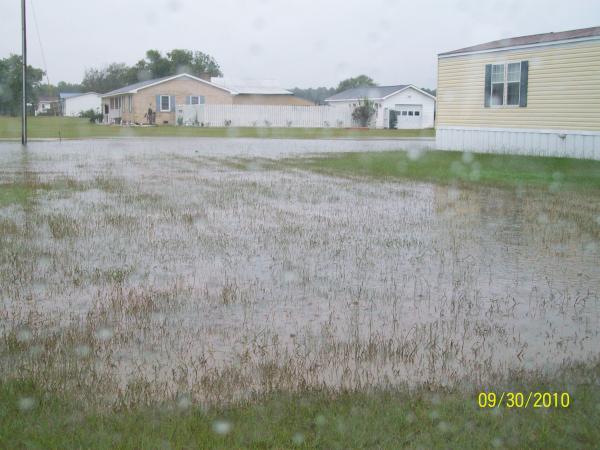
Posted — UpdatedThe coastal areas saw the most flooding on Thursday.
Nearly 21 inches collected in Wilmington since rain started falling Sunday topped Hurricane Floyd’s five-day mark of 19 inches set in 1999, the National Weather Service said.
New Hanover County emergency officials were concerned about flooding on Water Street in downtown Wilmington because of an expected 2-foot tidal surge.
In Carolina Beach, people were wading through flood waters on kayaks. Town officials said they are pumping out 12 to 13 million gallons of water from the area a day.
"I'm afraid of the mess left behind when the water goes away," Carolina Beach resident Leslie Bivans said.
In Brunswick County, N.C. Highway 211 at the Lockwood Folly Bridge remained closed on Thursday night due to high water. Gilbert Road and N.C. Highway 133 from Dawes Creek to the 50 Lakes Section were also closed.
In Pender County, 13 roads remained closed with barricades Thursday night. More roads were deemed impassable and flooded but were not officially closed.
Public schools in Brunswick and Pender counties are closed on Friday.
In Johnston County, the record rainfall made the DeSilva family feel like their home was on an island. The family said the water was flowing from Hannah's Creek, which runs under a bridge near their property. They said debris builds up under the overpass and when the rain started falling on Thursday there was no place for the water to flow but their yard.
"I think they need to come and clean this creek every so often," Ann DeSilva said.
State emergency officials warned that moderate to major flooding in low-lying areas along rivers and creeks would likely continue into early next week.
Jeff Orrock, a National Weather Service meteorologist, advised Smithfield residents to keep an eye on the Neuse River.
“We’re already forecasting minor to moderate flooding, and that may push those river levels up a little higher,” he said. “They have a lot of problems on the Neuse River at about 20 to 21 feet. Right now, the forecast is for 18.5 feet.”
In Raleigh, concerns about Crabtree Creek flooding prompted Crabtree Valley Mall to close its lower parking deck, and nearby automotive dealerships moved vehicles from their lots as a precaution.
Water levels at Crabtree Creek crested earlier Thursday at 15.35 feet, and it was expected to continue falling.
A new band of showers worked its way up along the North Carolina coast Thursday evening brought additional rain. After those showers pass, things will start to dry out, WRAL Chief Meteorologist Greg Fishel said.
“Here in the Triangle, it looks like all the heavy rain is over and we should be setting ourselves up a couple of pretty nice days tomorrow and again into Saturday,” Fishel said.
Thursday night’s forecast called for mostly cloudy skies with lows in the upper 50s to lower 60s.
Friday will be partly to mostly sunny, with lower humidity and a high around 77 degrees. Saturday will be sunnier and cooler, with a high in the low to mid-70s. Lows will be around 50.
“On Sunday, it looks like we’re going to start to cloud up as a system tries to develop along the coast,” Fishel said. “There’s still some uncertainty as to how much rain that will give us, but it has some potential on Sunday night into Monday, and it could also be very, very chilly when that rain occurs.”


• Credits
Copyright 2024 by Capitol Broadcasting Company. All rights reserved. This material may not be published, broadcast, rewritten or redistributed.

 for 2024 season")


