Best chance of snow west of Triangle
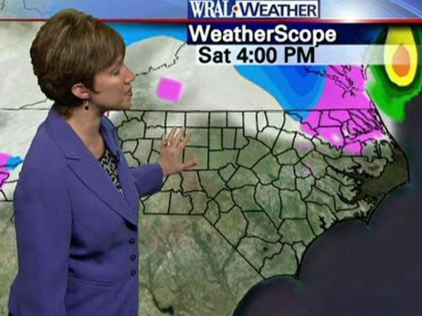
The Triangle is expected to see a mix of rain, snow and sleet Friday afternoon. The best chance of snow will be west of the Triangle, WRAL chief meteorologist Greg Fishel said.
Posted — Updated“It doesn’t look all that great for a big snow event in the Triangle,” Fishel said.
The Triangle and counties west of it are under an advisory. The advisory predicts accumulation of 1 to 2 inches of snow and sleet, with an additional coating of ice from freezing rain.
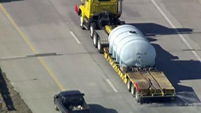
North Carolina Department of Transportation crews put an anti-icing salt brine on interstates and highways on Thursday. Lower-volume primary and secondary roads were treated next, then subdivision streets. If it rains first, crews will re-spray the roads.
"It's going to be a lot of work for the guys here, a lot of long hours," said DOT engineer Jason Holmes. "We're prepared for it. We do it every winter."
Cities and towns were planning to have crews out clearing the roads in case of snow.
“I’m not sure the roads are really going to be much of a problem, maybe Saturday night,” Fishel said.
Raleigh-Durham International Airport officials said they planned to activate their snow and ice control plan once precipitation begins to fall. The airport will not close and airlines will make decisions individually about flight cancellations.
On Friday, a low-pressure system tracking up the coast will bring moisture from the Gulf of Mexico. That moisture will meet cold, northern air in North Carolina.
"That's when the trouble will ensue," WRAL meteorologist Elizabeth Gardner said.
Forecast models show that snow will start falling in the mountains by noon, then move eastward. Flakes will likely start falling in the Triangle by mid-afternoon. Then, the WRAL viewing area will be split between snow in the north and rain in the south.
During the evening, warmer air will push into the area, forcing a change-over to rain, except around the Virginia border. But temperatures will fall again overnight, and snow could, too. Snow could fall Saturday morning, before ending as rain or a wintry mix.
WRAL meteorologist Mike Maze said Saturday will start off with the chance of a wintry mix, but soon dry out.
"By Saturday morning we are looking at mid-levels drying out," Maze said.
Precipitation will die off, leaving just clouds by Saturday afternoon.
For the Triangle, the amount of accumulation depends on how far east the rain-snow line goes. Any slight deviation could cause heavier or lighter amounts of snow to fall.
“Anything we are going to see will be pretty light and spotty," Fishel said. “It’s going to be a mixed bag."
By the time it gets cold enough for the Triangle to have snow, Fishel said, the precipitation may not be there.
Fishel said counties in the far northern part of the state are more likely to see all snow.
The Triangle could get up to 3 inches of snow by Saturday afternoon.
Snowfall is less likely in counties east of the Interstate 95 corridor.
Orange County Schools will operate on an early release schedule on Friday. Elementary schools will dismiss at 11:20 a.m., followed by middle schools at 12:20 p.m. and high schools at 12:45 p.m.
Saint Mary's School in Raleigh has canceled classes for Friday.
• Credits
Copyright 2024 by Capitol Broadcasting Company. All rights reserved. This material may not be published, broadcast, rewritten or redistributed.


