Afternoon storms move through Triangle
The storms are part of a typical late-summer pattern of heat, humidity and afternoon storms, WRAL meteorologist Nate Johnson said.
Posted — Updated
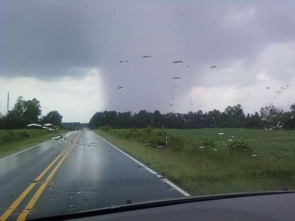
Radar indicated rainfall at rates of up to 2.5 inches in Raleigh just before 5 p.m. Heavy rain like that poses the risk of flooding of small streams and creeks. A WRAL viewer in Apex reported hail at the intersection of N.C. Highway 55 and U.S. Highway 64.
The storms are part of a typical late-summer pattern of heat, humidity and afternoon storms, WRAL meteorologist Nate Johnson said.
"Greg calls this meteorological monotony," Johnson said, referring to WRAL Chief Meteorologist Greg Fishel.
There is a chance for summer storms each afternoon this week, Johnson said. Any one storm could become severe, posing the threat of hail and high winds.


Copyright 2024 by Capitol Broadcasting Company. All rights reserved. This material may not be published, broadcast, rewritten or redistributed.


