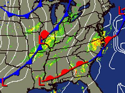
Severe weather pounds state
A strong storm cell moved maintained its intensity for about 80 miles as it moved over central North Carolina early Saturday, prompting tornado warnings and causing one death.
Posted — Updated
One death was reported in Wilson County as a result of the storm. The death occurred after a house was destroyed at 3850 London Church Road in Elm City. An unknown number of injuries were reported in Johnston County.
WRAL Chief Meteorologist Greg Fishel described the storm as a “super cell” that maintained its intensity for about 80 miles. Around 5 a.m., after about two hours of tornado warnings and severe weather, the cell appeared to be weakening.
In Johnston, a law enforcement officer reported seeing a tornado at 2:48 a.m. about 4 miles east-southeast of Benson.
A possible tornado produced damage to homes in Lucama, Wilson and Elm City. Damage was also reported in Kenly.
Previous tornado warnings were issued for Bertie, Edgecombe, Halifax, Hertford, Johnston, Nash, Northampton Sampson, Johnston, Wilson and Wayne counties.
Damage to homes and barns was reported in Sampson, Johnston and Wilson counties.
Some parts of the area will see 3 to 4 inches of rain before the skies start to clear late Saturday. The weekend will start mostly cloudy and windy, with showers and storms likely. Highs will be in the upper 60s to low 70s.
After rain passes through the state, a cold front will move into the area by Saturday afternoon. "You can call next week a preview of winter," WRAL Meteorologist Mike Maze said, noting that by Wednesday the daytime highs will top out in the mid-40s. "We could see a low temperature of 25 degrees Wednesday morning."
Meteorologist Elizabeth Gardner said she expects temperatures to be well below normal Tuesday through Friday of next week.

• Credits
Copyright 2024 by Capitol Broadcasting Company. All rights reserved. This material may not be published, broadcast, rewritten or redistributed.


