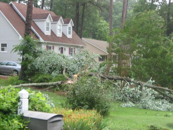
Triangle gets more rain
After a warm and muggy morning, scattered showers fell across central and eastern North Carolina during the evening hours.
Posted — UpdatedMoving to the north and east were "slower than average moving storms, that had been a part of much of central North Carolina since about 2 p.m.," WRAL Meteorologist Kim Deaner said.
The slow-moving trough set up conditions – warm, humid and unstable – similar to those that dumped more than 3 inches of rain on some parts Saturday night.
The rain will likely linger overnight in the eastern part of the state. The greatest danger from the storms is intense rainfall that could cause flash flooding.
A similar weather pattern ripe for storms will prevail on Monday, but drier air will slip in on Tuesday and Wednesday. That will create a diminished chance for showers and storms on those days.
The forecast includes a chance of rain every day until Friday.
"The good news in all of what we've got going on right now is ... we get some rain that's needed across the area, build that up across the next couple of days," WRAL Meteorologist Mike Moss said.
The weekend's precipitation has given Raleigh a surplus of rain for the year. On Sunday morning, Raleigh-Durham International Airport's rainfall total was 0.36 inches ahead of the average total at this time of year.
In early July 2007, RDU's rainfall total was behind more than 4 inches.
• Credits
Copyright 2024 by Capitol Broadcasting Company. All rights reserved. This material may not be published, broadcast, rewritten or redistributed.


