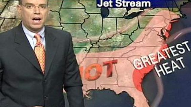
Meteorologist: 'The heat wave is behind us'
The extreme heat and triple-digit temperatures plaguing the Triangle will dissipate Wednesday. Highs will be in the low- to mid-90s.
Posted — Updated“The heat wave is behind us,” WRAL meteorologist Mike Maze said. “It’s a little bit more comfortable out there.”
The next few days will still be hot, but not nearly as bad as the week began. Thursday’s high is expected to be 88 degrees. A late-day storm is possible.
A cold front moved through the area Wednesday morning and was expected to spark a few showers and storms later in the afternoon, especially in the southern half of the state.
“We’ll take anything we can get to get rid of the 100-degree highs,” Maze said. Rain also would help replenish moisture that the extreme heat had baked out of the soil.
The heat wave prompted near-record demand for electricity, according to area utilities.
Progress Energy reported peak demand Monday of 12,290 megawatt-hours, large but below the record of 12,656 megawatt-hours last Aug. 9. Duke Energy reported peak demand Monday of 18,228 megawatt-hours, compared with its record of 18,998 megawatt-hours last Aug. 8.
A pressure ridge had the jet stream funneling hot, muggy air from the southwest over to the East Coast as far north as New York, Maze said.
Copyright 2024 by Capitol Broadcasting Company. All rights reserved. This material may not be published, broadcast, rewritten or redistributed.


