Flurries Reported in Triangle, Northern Counties
There were reports of flurries falling in Person, Warren, Vance and Granville counties Wednesday morning, and parts of the Triangle also saw some flakes.
Posted — Updated
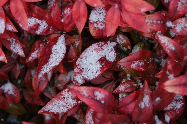
Radar indicates flurries falling in parts of Person, Granville, Warren and Vance counties. There were no reports of any accidents.
Just before noon, flurries also were being reported in parts of the Triangle, including Raleigh, Cary, Apex and Sanford, as well as Orange and Chatham counties.
An upper-level disturbance over Illinois and Indiana was expected to sweep across North Carolina Wednesday, bringing cold air and stiff winds from the north to the Triangle and a chance of flurries north of U.S. Highway 64.
"It's going to feel like 20s for the rest of the day," meteorologist Elizabeth Gardner said.
The frigid temperatures prompted the Durham Rescue Mission to launch what it calls Operation Warm Shelter. Mission staff and residents took coffee and doughnuts with them as they looked for homeless people in need of somewhere to stay and spread the word that warm shelter was available for people who might not have the ability to stay warm on cold winter nights.
A water main break led to the formation of icy spots in Raleigh on the Beltline near Western Boulevard. DOT crews were able to put sand down and there were few problems reported with the morning commute.
Gardner said the best chance for any activity may not be until early afternoon. She also said there is a small chance of the Triangle seeing bursts of snow showers, which could make some bridges and overpasses slick.
A winter storm warning has been issued for several western North Carolina counties, where the front was expected to bring some snowfall.
Four to 8 inches of snow was expected along the western slopes at higher elevations. Forecasters said lower elevations and the foothills could see up to 2 inches of snow.
The ground is warm enough that any snow that falls shouldn't stay on the ground for long. Tuesday's high temperature was 55 degrees, and temperatures will be in the high 30s Wednesday afternoon.
"There is zero chance of this turning into a big snowstorm. But it could be just enough to cause problems, especially if anybody goes into a panic mode when they see something coming down," WRAL Chief Meteorologist Greg Fishel said said.
By the weekend, a high-pressure system would move across North Carolina and into the Atlantic Ocean, bringing warm air out of the southwest and highs in the upper 50s and low 60s.
Copyright 2024 by WRAL.com and the Associated Press. All rights reserved. This material may not be published, broadcast, rewritten or redistributed.


