Record Highs to Be Followed By Cold ... and Rain?
Another temperature record fell on Wednesday, but colder, damper weather is on the horizon for the weekend.
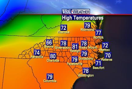
Posted — UpdatedWednesday's high of 79 degrees at Raleigh-Durham International Airport erased the previous record of 74 degrees, set in 1996.
That marked the third consecutive day of record-setting highs. Monday's 81 degrees was a record for both the date and the month of December at RDU. The old record for Dec. 10 was 76 degrees, set in 1972.
Dec. 11's previous record of 72 degrees, from 1971, fell to Tuesday's high of 74 degrees.
"But the clouds are on the increase. That's a sign that a change is coming," Maze said Wednesday evening.
Two separate cold fronts moving across the Triangle in the next 24 hours and a third on Saturday will bring temperatures down nearly 30 degrees by Saturday, he predicted. Temperatures in Raleigh will dip to 68 degrees on Thursday, 63 degrees on Friday and 50 degrees on Saturday.
The first two frontal boundaries will move across Raleigh after midnight and during the afternoon Thursday, bringing light showers and drizzle during the morning and evening commutes.
"We are expecting spotty rain, perhaps three to five hundredths of an inch, and that's about it out of this system," Maze said.
And the weekend?
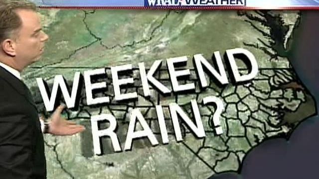
"It looks gloomy. It looks wet, and it's hard to pinpoint how much rain we'll get," Maze said.
A storm system was predicted to organize itself over Texas and move across the Plains states Friday, and then into North Carolina during Saturday night and into Sunday morning. That is when the chance of significant rain will be the best.
"It's something we've been watching for the past several days, but will it come to fruition?" Maze asked.
WeatherScope predicted two centers of low pressure would split the storm, keeping it from organizing until it was out of North Carolina and limiting rain to a quarter of an inch. Other computer models, however, predicted half an inch or even up to a full inch of rain.
"It all ultimately depends on the track of the storm, and we've got at least four days to iron out the solution before we really know what's going to go on," Maze said.
"But at this point, it does look like some rain is on the way, a cold rain. ... We all need this, and we're going to watch it closely."
• Credits
Copyright 2024 by Capitol Broadcasting Company. All rights reserved. This material may not be published, broadcast, rewritten or redistributed.


