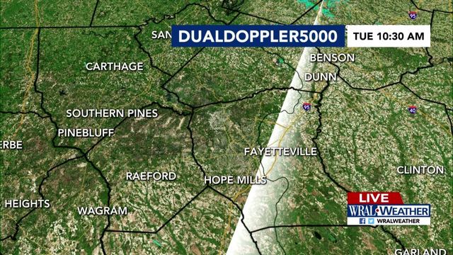
Storm systems target Triangle from east and west
Warm and sticky weather continued Friday in the Triangle, but thunderstorms struggled to develop after upper level energy over the state shifted east, WRAL meteorologist Mike Maze said.
Posted — Updated"The energy we talked about is still in place, but it's much weaker than it was yesterday and it's shifted to the east," he said. "We haven't seen much in the way of thunderstorm activity this afternoon, but we can't rule out a stray shower throughout the evening."
Storms developed in Robeson and Scotland counties Friday afternoon near the border between North Carolina and South Carolina, but didn't hold together. The story was similar for storms near the Virginia border in Caswell, Person and Rockingham counties, Maze said.
A separate area of energy will make its way into the western part of the state late Friday, setting up the chance for isolated afternoon thunderstorms throughout the weekend.
Highs should stay in the low 90s Saturday and Sunday before dropping back into the upper 80s by the beginning of next week.
• Credits
Copyright 2024 by Capitol Broadcasting Company. All rights reserved. This material may not be published, broadcast, rewritten or redistributed.


