'Delightful air' to follow scattered severe storms
A powerful cold front produced some strong to severe thunderstorms Monday evening as it moved through central North Carolina, said WRAL meteorologist Mike Maze.
Posted — Updated
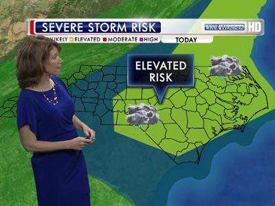
Several northern and eastern North Carolina counties, including Wake, were under a severe thunderstorm watch until 1 a.m. Tuesday.
The storms brought cloud-to-ground lightning and very heavy rainfall to parts of Wake, Johnston, Wayne and Wilson counties Monday night, Maze said.
But starting Tuesday, the fast-moving cold front will bring a brief mid-week respite from the steamy, muggy heat.
"Once the front moves on by, we're in for some delightful air," Maze said.


The high temperature climbed to 93 degrees Monday, marking the seventh time highs reached the 90s in the last eight days. But the coming cold front – once it clears overnight – will set up a two-day break from the hot weather.
Temperatures will top out around 80 degrees Tuesday as less humid air moves into the area, and highs will stay in the mid-80s Wednesday as sunshine dominates.
"We could be in for some rough weather Monday night thanks to this front, but it's really going to be nice once it clear out," said WRAL meteorologist Elizabeth Gardner. "You'll notice a major difference in the humidity and overnight lows could be in the 50s by Wednesday morning."
Following the brief respite from summertime heat during the middle of the week, high temperatures will creep back into the upper 90s by the weekend, topping out as high as 98 degrees on Saturday. Central North Carolina normally sees high temperatures in the upper 80s to near 90 degrees in late June, Gardner said.
"Enjoy the middle of the week, because high temperatures are going to be close to records by the end of the week and over the weekend," Gardner said.
Tropical Storm Debby, which formed Saturday afternoon in the Gulf of Mexico and has crept toward the Florida panhandle the last 36 hours, isn't likely to impact North Carolina's weather during the work week, Gardner said.
The storm's slow progress dumped several inches of rain across Florida Saturday and Sunday, and some areas could see rainfall totals top 20 inches by week's end.

"The rain is certainly the biggest issue with this storm right now, and it is trying to push showers up into Georgia and the Carolinas, but the center of circulation isn't really moving at all," Gardner said. "There is only so much it can do."
Debby was moving northeast at 5 mph Monday afternoon and was about 90 miles south-southwest of Apalachicola, Fla., some 600 miles southwest of Raleigh.
"It looks like Debby could creep toward the Florida peninsula, but it might not make landfall until sometime Thursday or even Friday," she said. "It's going to sit and dump huge amounts of rain across Florida, Alabama and parts of Louisiana until then."


• Credits
Copyright 2024 by Capitol Broadcasting Company. All rights reserved. This material may not be published, broadcast, rewritten or redistributed.


