Spotty, severe storms roll through central NC
Spotty but severe thunderstorms brought on by a heat wave Tuesday unleashed large hail, a "phenomenal amount" of cloud-to-ground lightning and even tornado warnings on several counties in central North Carolina.
Posted — Updated
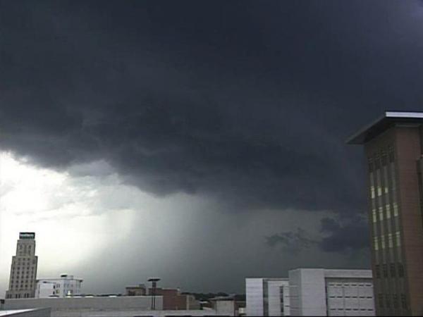
Tornado warnings were issued for Wake, Durham, Orange and Granville counties shortly after 6 p.m. The alerts lasted less than an hour, but WRAL meteorologist Mike Maze said radar was showing strong signs of rotation and possible tornadoes forming.
"There was never a report of a tornado touching down – just an impressive-looking cell that moved through those counties," he said.
The afternoon heat and humidity stirred up the storm activity, which could pop up again around daybreak Wednesday, when a storm cell forming over Ohio moves southeast into the viewing area.
Maze said some areas could see rain and wind, but those daybreak storms are not expected to be severe.
Southerly winds from the Gulf of Mexico brought on the wave of heat and humidity, which could take nearly a week to crest and recede. Highs hit the upper 80s in the Triangle Tuesday.
"Start thinking summer," WRAL meteorologist Elizabeth Gardner said. "Get ready for a long, hot, summer streak through Sunday."
The mercury will creep close to 90 degrees Wednesday and will likely climb a couple degrees above that mark on Friday and Saturday. Temperatures will reach close to record highs on those days.
A gradual cooldown starts on Sunday when temperatures return to the mid 80s, and the next work week will kick off with temperatures in the mid 70s.


• Credits
Copyright 2024 by Capitol Broadcasting Company. All rights reserved. This material may not be published, broadcast, rewritten or redistributed.


