Rainy cooldown on tap for work week
Monday could be the last warm day for awhile, WRAL Meteorologist Elizabeth Gardner said. The 70-degree temperatures that made for a pleasant Thanksgiving weekend will give way to a slow-moving storm system by Monday night, with up to an inch of rain possible in some areas by the end of the day Tuesday.
Posted — UpdatedThe 70-degree temperatures that made for a pleasant Thanksgiving weekend will give way to a slow-moving storm system by Monday night, with up to an inch of rain possible in some areas by the end of the day Tuesday.
Cloudy skies and breezy conditions will precede the massive cold front, Gardner said. There is no significant rain in the forecast for Monday, as highs should top out around 70 for much of the area.
"A lot of warm air is streaming in ahead of the front that will come through tomorrow," Gardner said. "Our temperatures are 15 degrees warmer in some spots than they were Sunday."
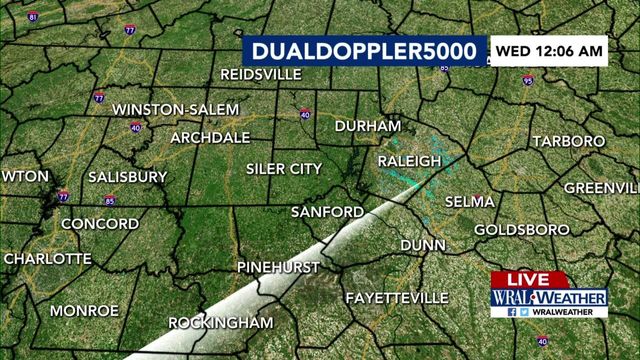
Rain chances will increase throughout the late evening Monday and into the early part of Tuesday, with some areas seeing strong thunderstorms. Gardner said the heaviest rain should make its way through the Triangle early Tuesday.
"There is a huge band of rain to our west which could produce as much as an inch of rain for us tomorrow," she said. "The morning commute will be very messy."
Due to cold air streaming in behind the front, snow is likely Tuesday for the North Carolina Mountains.
Highs Tuesday will climb into the mid 50s before dropping back into the 30s overnight.
Sunny conditions will return for the latter half of the week, Gardner said. Highs will be in the mid 50s to near 60 Wednesday, Thursday and Friday with lows falling into the mid 30s.
"It will feel much more Winter-like," Gardner said. "But Thursday is the first day of Winter so it is what we expect for this time of year."
• Credits
Copyright 2024 by Capitol Broadcasting Company. All rights reserved. This material may not be published, broadcast, rewritten or redistributed.


