Bill brings waves, swells to N.C. coast
Emergency management officials along North Carolina's Outer Banks prepared to feel the effects of Hurricane Bill on Saturday, even though the storm was expected to pass by hundreds of miles out to sea.
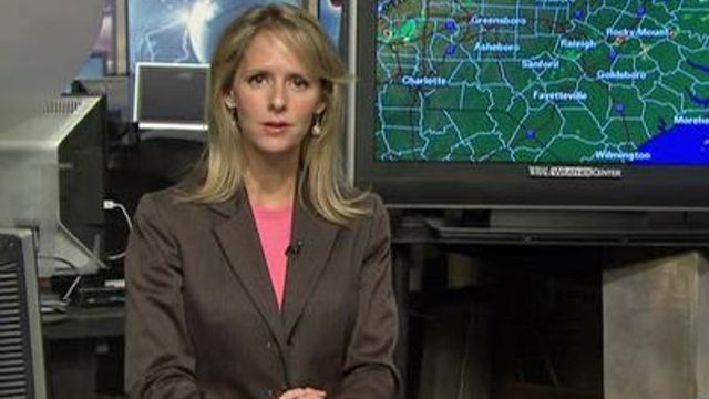
Posted — Updated"It's putting out some waves and swells (on our coast)," said WRAL meteorologist Mike Moss.
Carteret County Emergency Services, along with the towns of Atlantic Beach and Emerald Isle, urge all beach-goers to stay out of the water "due to dangerous rip currents and high surf advisories associated with Hurricane Bill."
"Atlantic Beach and Emerald Isle have red flagged their beaches for safety," wrote Jo Ann Smith, director of Carteret Emergency Services.
The storm was expected to pass west of Bermuda, and not make landfall anywhere on the east coast of the United States.
WRAL meteorologist Mike Maze said the storm appeared to be weakening. "Bill is looking more ragged," he said.
That doesn't mean the storm's effects won't be felt along the North Carolina coast, he cautioned. High winds over the Atlantic are expected to churn up the waves, creating the danger of rip currents.
“If you are planning a trip to the beach this weekend we recommend staying out of the water it is not going to be safe,” Maze said.
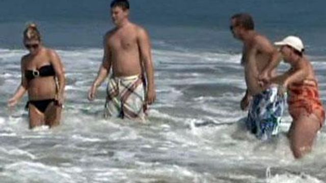
A few surfers hit the waves along Kill Devil Hills Friday afternoon. Some families on the beach said they were watching their children to make sure they didn't get too close to the waves.
"They have to stay where we are," parent Maria Kline said. "We're staying right in where the first set of waves are because it's too rough. It will pull you right out there."
The biggest waves in Kill Devil Hills were expected Saturday morning.
The Coast Guard and other agencies said a bodyboarder went missing on Friday after being knocked over by a wave off of Holden Beach.
Friday afternoon was hot and windy on the Outer Banks, WRAL photographer Richard Adkins said. "Red flags are flying but there are plenty of people on the beach and in the water," he said.
Flooding and beach erosion are expected along the Outer Banks this weekend, with an astronomical high tide added to the hurricane. Those problems linger into next week.
Warren Lee, emergency management director for New Hanover County, said he expected many surfers would try to take advantage of the waves whipped up by the passing storm.
The National Weather Service warned of high surf and high risk of rip currents all along the east coast.
Water levels are expected to rise 3 to 4 feet above normal, and the ocean could spill over roads. Waves up to 16 feet are possible at Cape Hatteras.
"Those swells are known to be deadly," said Eric Blake, a hurricane specialist at the National Hurricane Center. "It's just going to be very dangerous this weekend."
Storm tides will raise water levels as much as 3 feet above ground level along Bermuda's shores, and battering waves will add to the misery, forecasters said. Large swells from the storm were also affecting Puerto Rico, Hispaniola and the Bahamas.
On the eastern U.S. coast, offshore waves of 20 feet and more and rip currents at the beach are expected over one of the summer's last weekends. Forecasters warned boaters and swimmers from northeastern Florida to New England because of incoming swells as Bill passes far out to sea on a northward track for Canada's Maritime provinces.
Emergency managers in New England warned boaters, swimmers and surfers to take added precautions this weekend, when waves are expected to swell to 35 feet off the coast.
The National Weather Service said seas will get increasingly dangerous on Saturday into Sunday. Waves of up to 20 feet are possible south of Martha's Vineyard and Block Island and east of Cape Cod, and up to 35 feet on portions of the prime fishing area of Georges Bank, the weather service said.
President Obama and his family plan to travel to Martha's Vineyard on Sunday for vacation.
Mariners from Rhode Island up to Maine were told to stay close to port because of the high seas and what could be tropical storm-force winds. Steve Kass of the Rhode Island Emergency Management Agency said anybody offshore south of New England will face "absolutely dangerous conditions."
"If you own a boat and you like to go out any distance, this is not the weekend to do it," he said.
Bill is the first Atlantic hurricane this year after a quiet start to the season that runs from June through November. The Miami center lowered its Atlantic hurricane outlook on Aug. 6 after no named tropical storms developed in the first two months.
The revised prediction was for three to six hurricanes, with one or two becoming major storms with winds over 110 mph. Researchers at Colorado State University have also lowered their Atlantic season forecast to four hurricanes, two of them major.
• Credits
Copyright 2024 by WRAL.com and the Associated Press. All rights reserved. This material may not be published, broadcast, rewritten or redistributed.


