VORTEX2 team sees calm between storms
Storms were firing Thursdayl, but the armada decided to have a little bit of down time before the next round of active days.
Posted — Updated
Despite an outbreak of tornadic storms on Monday, the atmosphere has continued to deal VORTEX2 a favorable hand by giving us multiple operations days in a row. Storms were firing today as well, but the set-up was not as good for supercells, so the armada decided to have a little bit of down time before the next round of active days. I should note that this is in stark contrast to last year, where at one point we were chasing almost anything that produced thunder! At any rate, I’m thankful to have a few hours to myself to rest and catch up on everything.
After a late night on Monday, the VORTEX2 armada woke up on Tuesday and headed toward western Oklahoma. The drive was humbling, as the scars from the previous day’s storms were fresh along the highway just east of Oklahoma City. Twisted limbs and demolished structures reminded us all of the great need to better understand this destructive phenomena. With renewed perspective, we traveled onward to our next destination.
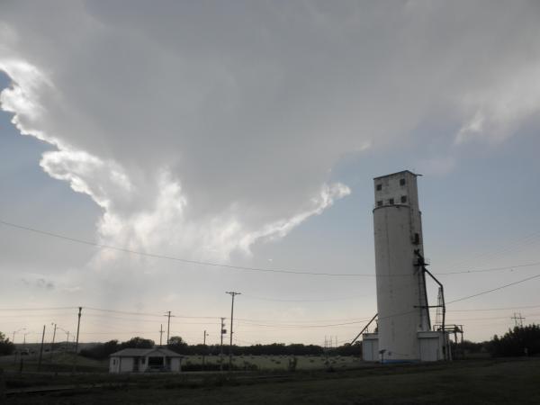
The set-up for storms was quite good on Tuesday, but was conditional on their formation. As a result, the armada spent several hours waiting around for initiation. The NC State team launched several weather balloons to track the evolution of the environment and to see if conditions improved. Eventually a few storms began to fire, though they often teased us and dissipated despite the odds being in favor of their maintenance. Finally near sunset, a long-lived storm formed that was suitable for VORTEX2′s interests. Unfortunately, since it was almost dark, the visibility wasn’t very good and I only managed to snap one good shot of the storm. Despite the less than favorable viewing conditions, the armada still managed to collect some very useful data on the storm, which also reportedly produced a brief funnel cloud.
Copyright 2024 by Capitol Broadcasting Company. All rights reserved. This material may not be published, broadcast, rewritten or redistributed.


 for 2024 season")


