
After a terrifically comfortable weekend around the viewing area that started with some clouds and patchy light rain early Saturday, we've seen the core of high pressure that brought the pleasant airmass move on out into the Atlantic. That's allowing for a southwesterly wind to develop today, bringing temperatures back to normal while humidity only rises a little. We'll see that trend continue tomorrow with a hot, humid Tuesday just ahead of an approaching cold front that may bring a few showers or storms Tuesday night into Wednesday.
The forecast for that time frame, however, is not a high confidence one at this point for a couple of reasons, partly because various computer projections push the front in at different speeds and with differing amounts of upper level support that could leave Wednesday anywhere from mostly cloudy, showery and cool, to partly cloudy and continued warm with only a few widely scattered showers and storms.
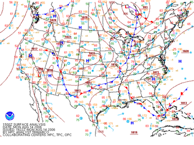
Another source of uncertainty is a result of the front that moved south of us over the weekend and then stalled along the Gulf coast, across south Florida and out into the Atlantic. There have been a couple of low pressure waves that developed and dissipated in the vicinity of the front east of Florida, and this is a situation that can occasionally result in the formation of a tropical cyclone as the origional frontal boundary dissipates and the left-over low level circulation becomes more and more influenced by heat transferred into the lower atmosphere from the very warm sea surface below, as opposed to the horizontal temperature and moisture contrasts associated with frontal lows. Recent analyses have shown the water temperatures in the vicinity of the decaying front are about 84-86 degrees, plenty warm to support a tropical system so long as other factors are favorable, such as limited vertical wind shear and/or development of diverging flow in the form of weak high pressure in the upper reaches of the atmosphere above the surface low.
At this point, computer model solutions for the track and intensity of the low are quite divergent, with a model called the NAM (North American Mesoscale) holding it almost stationary off the Florida coast for a couple of days, a model called GFS (Global Forecast System) drifting it northeast and weakening it, and our WRAL WeatherScope version of the MM5 model bringing the storm north to just off the NC coast by midday Wednesday. If that happens, it will be interesting to see whether the low can become tropical before it interacts with the frontal system that will lie across the region by then. If it becomes a named storm, it would likey be named either Debby or Ernesto, depending on the progress of another disturbance currently brewing just west of Africa.
For now, the National Hurricane Center is rightly non-committal in its outlooks, simply noting the presence of the system and its potential for slow development in the coming days.
Such transitions to either hybrid/subtropical or tropical weather systems from old remnant fronts and mid latitude lows that become stranded off either the southeast Atlantic or Gulf coasts is a fairly common historical means of tropical cyclone development during the early and late portions of hurricane season, when such frontal zones and lows more frequently move that far south. From August into early October, the classic "Cape Verde" storms that form at lower latitudes and far out into the Atlantic are more dominant, because most frontal systems and mid-latitude lows at that time stall or dissipate too far north. The one that moved south of us this weekend wasn't freakishly unusual, but was a fairly rare occurrence for this time of year, leaving our weekend temperatures about 5-10 degrees below normal. Note that while falling that far below normal in the winter isn't much of a feat, summer here tends to be marked by much smaller day to day and week to week deviations from long term averages.


 for 2024 season")


