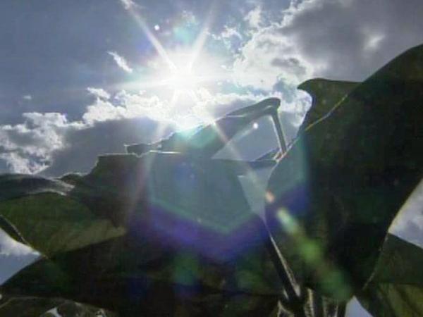
Stretch of heat extends in Triangle

Temperatures in the Triangle topped 90 degrees Friday – the third day in a row and the 90th day it's gotten that hot this year.
"The remarkable thing is that we are at 90 90-degree days for the year and prior to 2007 we never had more than 72 of those in an entire year," WRAL Chief Meteorologist Greg Fishel said.
"We've blown that record out of the water now twice in four years."
It was 91 degrees at 4 p.m. at Raleigh-Durham International Airport.
Saturday's forecast high is 95 degrees, but a cooldown is expected on Sunday.
The cooler temperatures are expected to be accompanied by some much-needed rain the early part of the work week.
Dry conditions have reigned for much of September. Only fourteen-hundredths of an inch of rain have fallen, and the state is 8.5 inches behind the normal rainfall total at this point in the year.
Clouds and humidity will build throughout Saturday, and the front will likely stall over the state overnight, creating a small chance of showers. The front could stick around, creating unsettled weather through Tuesday.
"I don't think Sunday will be a washout. Monday might be, though," WRAL meteorologist Elizabeth Gardner said.
Central and eastern North Carolina will see a dramatic temperature drop early next week. On Sunday, the high is predicted to be 83 degrees, and highs in the mid and low 80s stretch out past mid-week.


