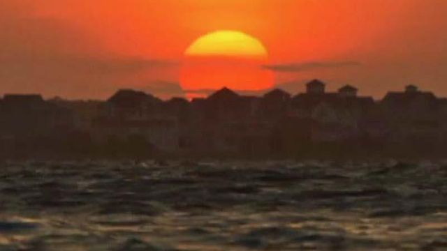
Setting sunsets ablaze?
One of our photographers named Richard Adkins was on the Outer Banks this week and wondered if the Pains Bay fire that's been burning for some time now in Dare County could have any impact on the appearance of sunsets, especially as seen from his location looking back toward the mainland.
As with many meteorological and atmospheric optics-related questions, the answer was "it depends."
The location of the viewer and what winds have been doing for the preceding day or so play a big role in affecting the position and concentration of the smoke plume. The optical effects also depend somewhat on the nature of the fire itself at a given time. Where the flames are more surface-based and open, larger particles make up a bigger fraction of the smoke, or what we would refer to as a larger portion of the particle size distribution. Those larger aerosols, close in size or larger than the wavelength of the light rays passing through them, act as "Mie scatterers" and tend to dim the light and produce a hazy or darkened appearance without changing the color all that much.
Conversely, fire that smolders (like in some of the subsurface peat burning in Dare County) usually produces more aerosols at the very small end of the size range, having diameters much smaller than the wavelengths of visible light. Those act as "Rayleigh scatterers" with more wavelength dependence (blue scattered off to the sides more than red), and tend to yield sunsets that are more reddened than would be the case in the absence of the smoke.
The video linked here is some that Richard shot at the coast this week. I've also included links to the latest information on the status of the fire and a National Weather Service page where you can track the likely movement of the smoke. On that page, just mouse over the gray squares next to either of the smoke forecast labels to see the projected plumes at any forecast time.


