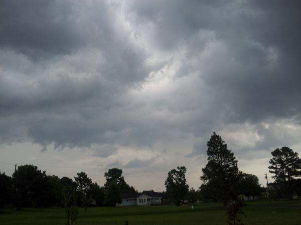
Severe weather moves through NC; tornado warnings expired
Tornado warnings popped up as storms moved through central and eastern North Carolina Tuesday evening.
Posted — UpdatedThere were no immediate reports of injuries.
The National Weather Service issued tornado warnings in Wake, Franklin, Nash and Edgecombe counties at various times, with the first warning sent shortly after 6 p.m. and the last expiring at 8:15 p.m.
There were multiple unconfirmed reports of a tornado touching down near U.S. 401 and N.C. Highway 98 in Franklin County, and trained weather service spotters reported a funnel cloud at Frasier Road near the Nash and Franklin County line at 7:05 p.m.
There also were reports of flooding in downtown Raleigh. At one point, more than 39,000 residents were without power in Wake County, nearly 19,000 in Franklin County and more than 24,000 in Chatham County, according to Duke Energy.
Wake Electric said storms caused about 700 power outages, mostly in Franklin County.
Authorities said there was no damage in Nash County. But Youngsville was the hardest hit in Franklin County, where winds ripped trees and tore siding from homes.
Philip Rico watched as the storm blew through his neighborhood off U.S. 401, snapping trees and power lines. A home that sustained the most damage was vacant.
"You couldn't see nothing," he said. "All the debris was flying everywhere."
Jerry Fuller said he looked out his back door and saw what he described as a black funnel cloud.
"As soon as we got in the closet, it hit," he said. "I never been through nothing like that before. The Lord just helped us out. He helped us go through all this."
At Harris Chapel Baptist Church, more than 50 children were inside for Vacation Bible School when the winds hit.
"It was pretty severe stuff. It was hectic," instructor Charles Haley said.
The weather seemed like a repeat of Tropical Storm Andrea – which spawned tornado warnings in Franklin and Warren counties on June 9 – and severe storms that rolled through the region June 13. A University of North Carolina at Chapel Hill student was killed by a falling tree during that storm.
But Tuesday's weather was different, said WRAL meteorologist Nate Johnson.
"Last week was a squall line event with this big line pushing in one direction," he said. "Today started out with discrete cells that were able to spin up and rotate individually."
An upper-level disturbance collided with warm, unstable air, Johnson said. That interaction was enough to create rotational winds.
"We had all the juice at the lower levels, and the upper-level disturbance lifted it," he said.
Still, the most severe weather Tuesday was isolated, said WRAL Chief meteorologist Greg Fishel.
"When you take a look at the big picture, it really was not a widespread event," he said.
The National Weather Service will assess the damage Wednesday and confirm any tornadoes.
The intense wild weather came at the end of a day marked by scatted rain and hot, humid temperatures.
It's all typical for June, said Johnson.
"It's not unusual," he said. "Typically, the thunderstorms we get this time of year will pop up, have a brief wind gust or two and die off. Today was a little more favorable for storms to rotate and hold together."
Sunshine will return gradually during the second half of the work week, but temperatures will remain mild and lower humidity will build in behind the front.
Daytime highs will hover in the mid-80s until Sunday, when the mercury will begin creeping back toward 90 degrees.
Another round of showers and storms will arrive Sunday into Monday as higher humidity and an unsettled pattern builds back in.
• Credits
Copyright 2024 by Capitol Broadcasting Company. All rights reserved. This material may not be published, broadcast, rewritten or redistributed.


