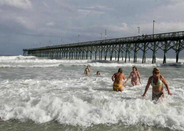
Storm's slow progress soaks N.C. coast
Tropical Storm Christobal is expected to continue a slow drift to the north and east, Chief Meteorologist Greg Fishel said. The Triangle could see widely scattered showers Sunday afternoon and evening.
Posted — UpdatedThe storm continues a slow drift to the north and east, and is not expected to make landfall, Chief Meteorologist Greg Fishel said. Rains from the system soaked Wilmington Saturday, with totals reaching 3 to 4 inches in some areas in the southeast of the state.
The outer bands of the storm reached as far west as Chatham County Saturday. Some areas of the Triangle saw significant rainfall – 2.5 inches of rain fell within an hour near Carrboro Saturday evening – while others got only dark clouds. Fishel reported no precipitation in City of Raleigh.
Sunday's forecast for the Triangle is similar. Christobal, which changed little throughout the evening and overnight hours, could re-organize as water and air heat up again through the day, bringing the chance of a repeat rain.
"The best chance of any showers and storms Sunday will be along and east of I-95, as Tropical Storm Christobal pulls out to sea," Fishel said.
Team coverage from the coast
• Credits
Copyright 2024 by WRAL.com and the Associated Press. All rights reserved. This material may not be published, broadcast, rewritten or redistributed.


