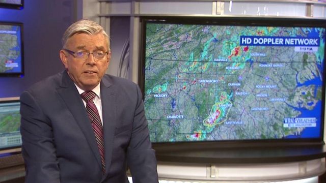
Fishel: Severe thunderstorm to affect much of central NC
Thunderstorms will remain in the forecast for much of the week with the possibility of severe weather tonight, according to WRAL meteorologist Mike Maze.
Posted — UpdatedSeveral North Carolina and Virginia counties were under alert for Severe Thunderstorm Warnings and Flood Advisories.
"Thunderstorms are definitely in the forecast this evening and overnight," Maze said.
Maze said to be aware of the potential for damaging winds, heavy rain, frequent lightning and localized flash flooding.
Strong to severe thunderstorms will last into the early morning hours, and storms could last long enough to impact early morning commuters, WRAL Chief Meteorologist Greg Fishel said.
"This front will likely come in and stall across central North Carolina. That will keep clouds and storms in the forecast through Tuesday."
Parts of central North Carolina are at a "Level 2" storm risk, which indicates a possibility of heavy rain, strong winds and frequent lightning.
The chance for isolated severe storms will increase as a cold front nears the central portion of the state.
"Our daytime 40 percent chance of rain bumps up to 60 percent at 10 p.m.," said WRAL meteorologist Elizabeth Gardner.
After the cold front slips in, Tuesday will be much cloudier and cooler, and less humid, than Monday, with highs in the low 80s.
According to Maze, the chance for rain will continue through Wednesday, with rain still possible into Thursday and Friday.
"The total amount of rainfall for all three days could be as much as 1.75 inches," Gardner said.
The wet weather will be accompanied by hot temperatures that will be intensified by high humidity.
The forecast won't turn sunny until Saturday with partly cloudy skies and little chance of rain.
• Credits
Copyright 2024 by Capitol Broadcasting Company. All rights reserved. This material may not be published, broadcast, rewritten or redistributed.


