Fishel: Freezing rain 'nothing major,' but schools post delays
"There will be some patchy light rain and freezing rain overnight and into Friday morning from the Triangle and to the north," said WRAL Chief Meteorologist Greg Fishel. A number of area school systems posted delays Friday morning as a precaution.
Posted — Updated"It is coming this way, but it's not going to bring a foot of snow by any means," said WRAL meteorologist Elizabeth Gardner.
Chief Meteorologist Greg Fishel agreed, disappointment in his voice, with that assessment.
"There will be some patchy light rain and freezing rain overnight and into Friday morning from the Triangle and to the north," said WRAL Chief Meteorologist Greg Fishel. "It will not, I emphasize not, be a major winter storm."
Precipitation could begin falling by midnight, but the impact on the roadways will depend on how much moisture comes into the area and how far the temperatures fall before the morning commute.
Temperatures in the Triangle will be right at the freezing mark, and precipitation will likely start out as freezing rain and sleet, with some snow mixed in.
A number of area school systems, including Wake, Durham and Orange counties, posted delays Friday morning as a precaution.
"We're going to be watching our temperatures very closely Friday morning," Gardner said. "If we're above freezing, it could all be rain, but if we get down to 31 or 32 degrees, we could see some freezing precipitation and slick spots on the roads."
Given that pattern, the North Carolina Department of Transportation will not be able to prepare roadways ahead of time, said spokesman Steve Abbott. The DOT's brine solution can be washed away by rain, so it is ineffective when snow follows rain.
Abbott said the DOT would have crews on standby after midnight Friday to treat any trouble spots that develop and to spread traction-improving sand on bridges.
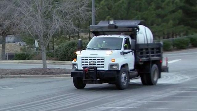
In Cary, however, crews were prepping main roads and bridges with brine, especially in known trouble spots.
"The biggest challenge at this point is just the uncertainty of exactly what extent of weather we'll have," said Steve Brown, who heads Cary's public works and utilities department. "They'll be ready. Sometimes waiting is the hardest part."
Once the threat for wintry precipitation ends Friday morning, a wet weather pattern will settle in for much of the next several days.
A second band of rain, heavier and more widespread, will move in Friday night and linger into Saturday, Gardner said. By Saturday evening, some spots in central North Carolina could see up to 2 inches of rain.
• Credits
Copyright 2024 by WRAL.com and the Associated Press. All rights reserved. This material may not be published, broadcast, rewritten or redistributed.


