Karen unlikely to make landfall as hurricane
A less organized Tropical Storm Karen was continuing its trek toward the Gulf Coast on Friday evening, but forecasters say it is unlikely to make landfall as a hurricane.
Posted — Updated"This system is in such a hostile environment right now, with strong upper-level winds literally trying to rip this thing to shreds, that it has very little chance now of intensifying to hurricane status," WRAL Chief Meteorologist Greg Fishel said.
A hurricane watch along the Gulf Coast was canceled Friday and replaced with a tropical storm watch, which is in effect from the mouth of the Pearl River in Louisiana to west of Destin, Fla.
At 5 p.m. Friday, the storm was about 970 miles southwest of Raleigh and was moving northwest at 7 mph.
Karen's track has it hitting the Florida panhandle, then progressing through parts of Alabama, Georgia and South Carolina.
Forecasters say Karen is expected to bring 3 to 6 inches of rain to portions of the central and eastern Gulf Coast through Sunday night, mainly near and to the right of the path of the center.
In North Carolina, the greatest impact will be from rain on Monday and into Tuesday. Karen is expected to merge with an approaching cold front as it moves northeast after making landfall.
“The exact track and how much organization is left will determine how much (rain) we’ll get,” Fishel said. “We certainly need to keep an eye on it, but the chance of it making landfall as a hurricane and being a really strong tropical system up into the southeastern U.S. is dwindling very fast.”
On Friday afternoon, Alabama joined Louisiana, Mississippi and Florida in declaring a state of emergency as officials and residents prepared for Karen, expected to near the central Gulf Coast on Saturday as a weak hurricane or tropical storm. The Federal Emergency Management Agency and Interior Department recalled workers, furloughed because of the government shut down, to deal with the storm and help state and local agencies.
"We are confident on a northeastward turn. Just not exactly sure where or when that turn will occur," said Rick Knabb, director of the National Hurricane Center in Miami.
Along the Mississippi, Alabama and Florida coasts, officials urged caution. Workers moved lifeguard stands to higher ground in Alabama and Florida. But there were few signs of concern among visitors to Florida's Pensacola Beach, where visitors frolicked in the surf beneath a pier and local surfer Stephen Benz took advantage of big waves.
The White House said the Federal Emergency Management Agency was recalling some workers furloughed due to the government shutdown to prepare for the storm.
White House spokesman Jay Carney said President Barack Obama was being updated about the storm. He said Obama directed his team to ensure staffing and resources are available to respond to the storm.
Hundreds of thousands of federal workers have been furloughed under the partial government shutdown. It's unclear how many FEMA workers are being brought back.
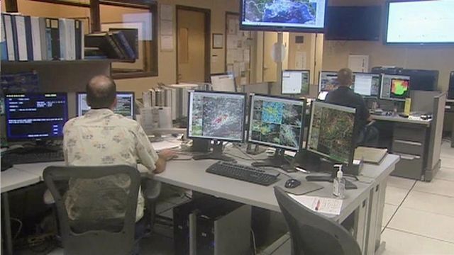
A spokesman with the National Weather Service said Friday that all offices were open and fully staffed because employees have been deemed essential.
But they won't be paid for their work until the shutdown ends.
"Those who do work will be paid, but payroll will not come until the government reopens," spokesman Chris Vacarro said.
"When it comes to things like blizzards and severe thunderstorms and tornadoes and tropical systems, those are all things that are potentially life-threatening to people. So it isn't an option for those services not to be provided," he said.
Karen will be the second storm of the season to make landfall in the United States. Tropical Storm Andrea came ashore early June, bringing more than 5 inches of rain to the Triangle.
No injuries were reported, but several homes were damaged by felled trees and dozens of drivers had close calls after steering their vehicles into floodwaters. Raleigh firefighters rescued four women from their van after it got stuck in standing water on TW Alexander Drive at Glenwood Avenue.
• Credits
Copyright 2024 by WRAL.com and the Associated Press. All rights reserved. This material may not be published, broadcast, rewritten or redistributed.


